
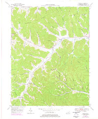
1949 Map of Charters
USGS Topo · Published 1969About this map
Charters and Clarksburg anchor this rural Lewis County landscape, where the winding waters of Salt Lick Creek dictate the settlement patterns of the late 1940s. The terrain is defined by prominent ridges such as Pleasant Ridge and Kentucky Ridge, which separate deeply incised hollows named for local families, including Jack Harrison Hollow and Meenach Hollow. This survey captures a specific social geography through its network of country schools like Heselton School and Holly School, and local houses of worship including Liberty Grove Ch.
Find a feature on this map
74 named features on this map. Tap any name to fly to it.
Don’t see what you’re looking for? This feature index may not catch every label — zoom into the map to look around manually.
Map Details
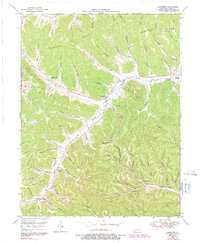
Editions of this 1949 Charters Map
3 editions found
Other maps of this area

1919 · Vanceburg
USGS Topo · 1:62,500

1929 · Springdale
USGS Topo · 1:48,000

1935 · Springdale
USGS Topo · 1:62,500

1949 · Vanceburg
USGS Topo · 1:62,500

1949 · Buena Vista
USGS Topo · 1:24,000

1949 · Vanceburg
USGS Topo · 1:24,000

1949 · Concord
USGS Topo · 1:24,000

1950 · Charters
USGS Topo · 1:24,000

1950 · Head Of Grassy
USGS Topo · 1:24,000
1951 · Vanceburg
USGS Topo · 1:24,000