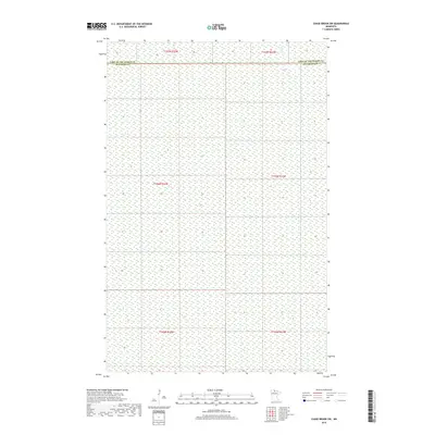
2019 Map of Chase Brook SW
USGS Topo · Published 2019About this map
Lake of the Woods Co and Beltrami Co meet in this northern Minnesota landscape, where the terrain is dominated by extensive wetland systems and sparse hydrographic features. The northern reaches of the quadrangle are defined by the presence of Troy Cr, a small watercourse winding through the low-lying interior. This 2019 survey illustrates the characteristic section-line grid of the Public Land Survey System, which imposes a geometric structure over the otherwise fluid and unbroken marshlands. The lack of named settlements or infrastructure highlights the preserved, undeveloped nature of this wilderness area near the Canadian border, where the primary human presence is marked by these surveyed political boundaries rather than established townsites.
Find a feature on this map
2 named features on this map. Tap any name to fly to it.
Don’t see what you’re looking for? This feature index may not catch every label — zoom into the map to look around manually.
Map Details
Editions of this 2019 Chase Brook SW Map
This is the sole edition of this map. No revisions or reprints were ever made.
Other maps of this area
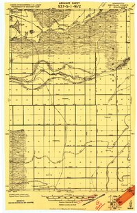
1919 · G
USGS Topo · 1:62,500
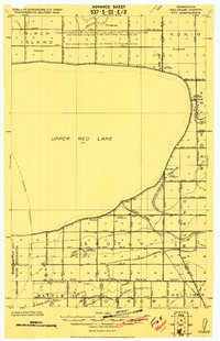
1919 · Fox
USGS Topo · 1:62,500
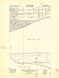
1919 · Ponemah
USGS Topo · 1:62,500
1919 · Knutson
USGS Topo · 1:62,500
1943 · Ponemah
USGS Topo · 1:62,500

1954 · Roseau
USGS Topo · 1:250,000

1957 · Roseau
USGS Topo · 1:250,000

1958 · Roseau
USGS Topo · 1:250,000
1973 · Ludlow Lookout Tower
USGS Topo · 1:24,000
1973 · Waskish NW
USGS Topo · 1:24,000