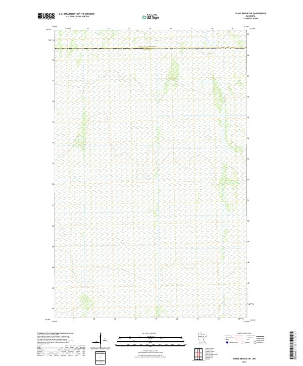
2022 Map of Chase Brook SW
USGS Topo · Published 2022About this map
The county line between Lake of the Woods Co and Beltrami Co runs through the northern reaches of this survey, marking a largely unpopulated wetland landscape in northern Minnesota. This particular quadrant is defined by the Public Land Survey System grid, which organizes the vast muskeg and swamp terrain into clear townships including t156n r32w, t156n r31w, and t155n r32w. The lack of traditional settlement names or infrastructure highlights the remote character of this region, where the primary human features are the invisible geopolitical boundaries and the systematic section lines that divide the saturated wilderness.
Find a feature on this map
7 named features on this map. Tap any name to fly to it.
Don’t see what you’re looking for? This feature index may not catch every label — zoom into the map to look around manually.
Map Details
Editions of this 2022 Chase Brook SW Map
This is the sole edition of this map. No revisions or reprints were ever made.
Other maps of this area

1919 · G
USGS Topo · 1:62,500

1919 · Fox
USGS Topo · 1:62,500

1919 · Ponemah
USGS Topo · 1:62,500

1919 · Knutson
USGS Topo · 1:62,500

1943 · Ponemah
USGS Topo · 1:62,500

1954 · Roseau
USGS Topo · 1:250,000

1957 · Roseau
USGS Topo · 1:250,000

1958 · Roseau
USGS Topo · 1:250,000
1973 · Ludlow Lookout Tower
USGS Topo · 1:24,000
1973 · Waskish NW
USGS Topo · 1:24,000