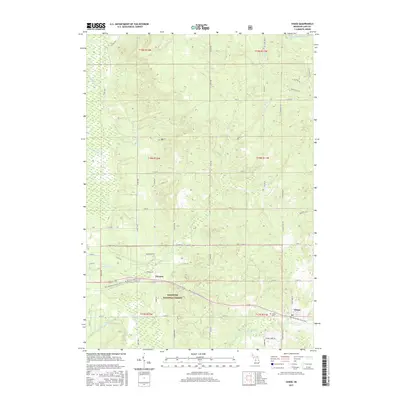
2017 Map of Chase
USGS Topo · Published 2017About this map
The Manistee National Forest covers much of this landscape in Lake County, where the unincorporated settlements of Chase and Nirvana serve as primary points of interest for local historians. The area is defined by its complex hydrology, with the Little Manistee River flowing across the northern border and the Middle Br Pere Marquette River winding through the south. This terrain, marked by numerous small tributaries like Sanborn Cr and the Baldwin River, highlights the region's importance for timber and water resources. For genealogists, the map identifies specific burial sites including Chase Cem and Nirvana Cem, which are key landmarks for tracing family history in this corner of Michigan. The road network, including N Kings Hwy and S State Rd, connects these rural outposts across a landscape of wetlands and springs such as Big Spring.
Find a feature on this map
60 named features on this map. Tap any name to fly to it.
Don’t see what you’re looking for? This feature index may not catch every label — zoom into the map to look around manually.
Map Details
Editions of this 2017 Chase Map
This is the sole edition of this map. No revisions or reprints were ever made.
Other maps of this area

1931 · Chase NE
USGS Topo · 1:31,680

1931 · Baldwin NE
USGS Topo · 1:31,680

1932 · Chase NW
USGS Topo · 1:31,680

1933 · Peacock SE
USGS Topo · 1:31,680

1933 · Luther SE
USGS Topo · 1:31,680

1933 · Luther SW
USGS Topo · 1:31,680

1954 · Traverse City
USGS Topo · 1:250,000

1954 · Midland
USGS Topo · 1:250,000

1957 · Luther
USGS Topo · 1:62,500

1957 · Wellston
USGS Topo · 1:62,500