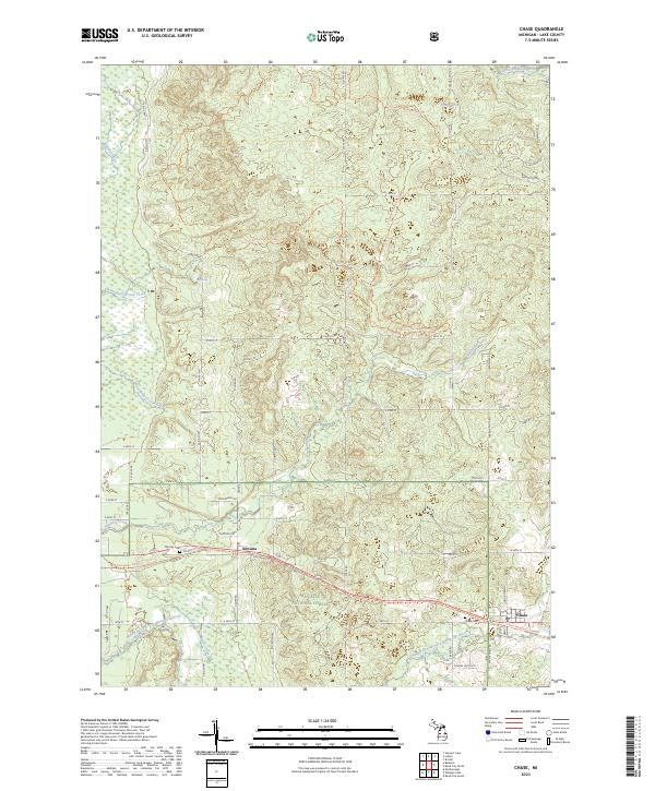
2023 Map of Chase
USGS Topo · Published 2023About this map
The Manistee National Forest provides the backdrop for this survey of eastern Lake County, where the settlements of Nirvana and Chase follow the path of the Pere Marquette State Trail. The landscape is defined by its complex hydrography, notably the Middle Branch Pere Marquette River and the Little Manistee River, alongside numerous tributaries like Sanborn Creek and Walker Creek. This area's recreational and forest-management character is evident in the presence of the Tin Cup Spring Motorcycle Trail and several small water bodies like Totten Lake. Genealogists and local historians will find the exact locations of the Nirvana Cem and Chase Cem helpful for locating early residents of these timber-country communities. The map detail reflects a region where the legacy of early rail corridors has transitioned into modern state trails, connecting isolated hamlets through the dense forest.
Find a feature on this map
62 named features on this map. Tap any name to fly to it.
Don’t see what you’re looking for? This feature index may not catch every label — zoom into the map to look around manually.
Map Details
Editions of this 2023 Chase Map
This is the sole edition of this map. No revisions or reprints were ever made.
Other maps of this area

1931 · Chase NE
USGS Topo · 1:31,680

1931 · Baldwin NE
USGS Topo · 1:31,680

1932 · Chase NW
USGS Topo · 1:31,680

1933 · Peacock SE
USGS Topo · 1:31,680

1933 · Luther SE
USGS Topo · 1:31,680

1933 · Luther SW
USGS Topo · 1:31,680

1954 · Traverse City
USGS Topo · 1:250,000

1954 · Midland
USGS Topo · 1:250,000

1957 · Luther
USGS Topo · 1:62,500

1957 · Wellston
USGS Topo · 1:62,500