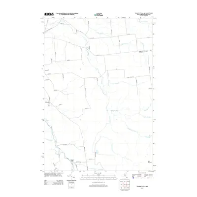
2013 Map of Chasm Falls
USGS Topo · Published 2013About this map
Trout River and its various branches dominate this portion of Franklin County, carving through a landscape defined by small upland settlements and rural roads. Near the northern border, Bellmont Center serves as a local focal point, supported by the Bellmont Center Cem. The drainage patterns are intricate here, with the W Br Trout River, Middle Br Trout River, and E Br Trout River converging as they flow toward the Canadian border.
Find a feature on this map
63 named features on this map. Tap any name to fly to it.
Don’t see what you’re looking for? This feature index may not catch every label — zoom into the map to look around manually.
Map Details
Editions of this 2013 Chasm Falls Map
This is the sole edition of this map. No revisions or reprints were ever made.
Other maps of this area

1906 · Loon Lake
USGS Topo · 1:62,500

1908 · Loon Lake
USGS Topo · 1:62,500

1915 · Chateaugay
USGS Topo · 1:62,500

1915 · Malone
USGS Topo · 1:62,500

1917 · Malone
USGS Topo · 1:62,500

1921 · Santa Clara
USGS Topo · 1:62,500

1923 · Santa Clara
USGS Topo · 1:62,500

1943 · Chateaugay
USGS Topo · 1:62,500

1948 · Ogdensburg
USGS Topo · 1:250,000

1951 · Ogdensburg
USGS Topo · 1:250,000