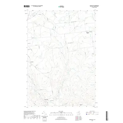
2019 Map of Chasm Falls
USGS Topo · Published 2019About this map
Chasm Falls serves as the focal point of this northern New York landscape, situated where the Salmon River and Fishpole Outlet meet at the base of the Owls Head Range. The settlement pattern reflects a deeply rooted rural community, with small clusters like Teboville and Bellmont Center connected by a network of long-established country roads such as French Settlement Rd and Teboville Rd.
Find a feature on this map
57 named features on this map. Tap any name to fly to it.
Don’t see what you’re looking for? This feature index may not catch every label — zoom into the map to look around manually.
Map Details
Editions of this 2019 Chasm Falls Map
This is the sole edition of this map. No revisions or reprints were ever made.
Other maps of this area

1906 · Loon Lake
USGS Topo · 1:62,500

1908 · Loon Lake
USGS Topo · 1:62,500

1915 · Chateaugay
USGS Topo · 1:62,500

1915 · Malone
USGS Topo · 1:62,500

1917 · Malone
USGS Topo · 1:62,500

1921 · Santa Clara
USGS Topo · 1:62,500

1923 · Santa Clara
USGS Topo · 1:62,500

1943 · Chateaugay
USGS Topo · 1:62,500

1948 · Ogdensburg
USGS Topo · 1:250,000

1951 · Ogdensburg
USGS Topo · 1:250,000