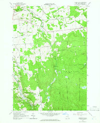
1964 Map of Chasm Falls
USGS Topo · Published 1966About this map
Salmon River waterpower and the northern reaches of the Adirondack State Park anchor this mid-1960s study of northern New York. The community of Chasm Falls sits at a strategic point where the river carves through the landscape, supported by local institutions like the River Street Sch and a nearby Gaging Station. A network of family-named roads, such as Donohue Road and Stacy Road, connects small settlements like Teboville and Bellmont Center to the surrounding hills. Evidence of earlier transport and industry is visible in the Old Railroad Grade and numerous quarries and gravel pits scattered across the township lines. Higher elevations are dominated by the Owls Head Range and West Mountain, with the Brown-Benoit Trail providing access to the more secluded terrain of the State Forest Preserve.
Find a feature on this map
56 named features on this map. Tap any name to fly to it.
Don’t see what you’re looking for? This feature index may not catch every label — zoom into the map to look around manually.
Map Details
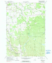
Editions of this 1964 Chasm Falls Map
2 editions found
Other maps of this area

1906 · Loon Lake
USGS Topo · 1:62,500

1908 · Loon Lake
USGS Topo · 1:62,500

1915 · Chateaugay
USGS Topo · 1:62,500

1915 · Malone
USGS Topo · 1:62,500

1917 · Malone
USGS Topo · 1:62,500

1921 · Santa Clara
USGS Topo · 1:62,500

1923 · Santa Clara
USGS Topo · 1:62,500

1943 · Chateaugay
USGS Topo · 1:62,500

1948 · Ogdensburg
USGS Topo · 1:250,000

1951 · Ogdensburg
USGS Topo · 1:250,000