
1893 Map of Chatham
USGS Topo · Published 1893About this map
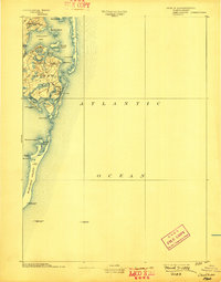
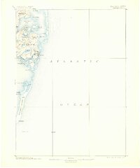
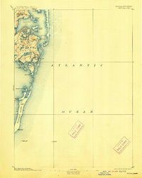
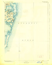
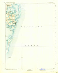
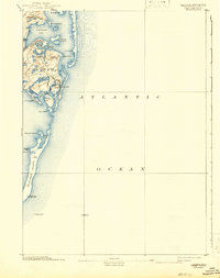
Chatham and its neighboring villages of North Chatham and Chatham Port occupy a landscape defined by an intricate network of coastal inlets and barrier beaches at the end of the nineteenth century. This survey, compiled from work by the U.S. Coast and Geodetic Survey, illustrates the maritime hazards of the era through the placement of Chatham Lights and several light ships stationed in the Atlantic. The long, narrow reach of Monomoy Island extends southward, separating the open ocean from the more sheltered waters of Stage Harbor. This topography reveals the essential maritime infrastructure of the day, including multiple U.S.L.S. Stations and landmarks such as Nickersons Neck and Harding Beach Light, which guided the shipping traffic that sustained these coastal Massachusetts settlements.
Find a feature on this map
38 named features on this map. Tap any name to fly to it.
Don’t see what you’re looking for? This feature index may not catch every label — zoom into the map to look around manually.
Map Details
Editions of this 1893 Chatham Map
7 editions found
Other maps of this area

1887 · Wellfleet
USGS Topo · 1:62,500

1887 · Yarmouth
USGS Topo · 1:62,500

1888 · Chatham
USGS Topo · 1:62,500

1889 · Yarmouth
USGS Topo · 1:62,500

1889 · Wellfleet
USGS Topo · 1:62,500

1893 · Yarmouth
USGS Topo · 1:62,500

1893 · Wellfleet
USGS Topo · 1:62,500

1917 · Chatham
USGS Topo · 1:62,500

1942 · Cape Cod Bay
USGS Topo · 1:125,000
1942 · Monomoy Point
USGS Topo · 1:31,680