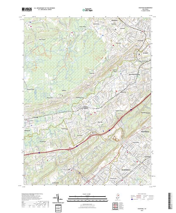
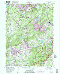
2023 Map of Chatham
USGS Topo · Published 2023About this map
The Great Swamp dominates the northwestern landscape of this Morris County region, serving as a natural buffer between the settlements of New Vernon and Gillette. The Passaic River meanders through the central valley, defining the borders between Morris, Union, and Somerset counties while connecting a dense network of suburban communities including Chatham, Summit, and Berkeley Heights. This topography is shaped by the prominent ridgelines of First Watchung Mountain and Second Watchung Mountain, which hem in the southern residential corridors of Plainfield and Scotch Plains.
Find a feature on this map
386 named features on this map. Tap any name to fly to it.
Don’t see what you’re looking for? This feature index may not catch every label — zoom into the map to look around manually.
Map Details
Editions of this 2023 Chatham Map
This is the sole edition of this map. No revisions or reprints were ever made.
Historical Maps of Warren Township Through Time
12 maps found

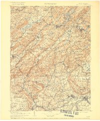
1900 Raritan
Morris County, NJ
1905 Raritan
Morris County, NJ
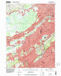
1943 Chester
Morris County, NJ
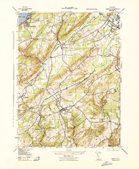
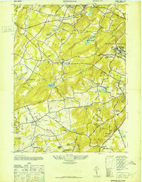
1947 Chatham
Morris County, NJ
1947 Mendham
Morris County, NJ
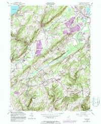
1954 Chester
Morris County, NJ
1954 Mendham
Morris County, NJ
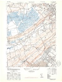
1955 Chatham
Morris County, NJ
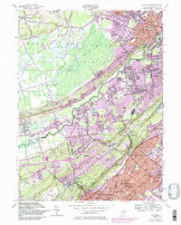
1995 Chatham
Morris County, NJ
2023 Chatham
Morris County, NJ
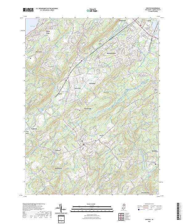
2023 Chester
Morris County, NJ
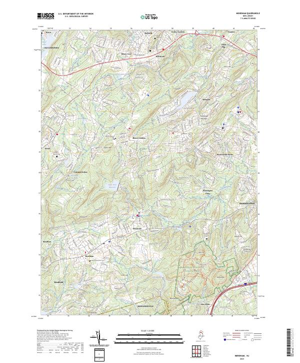
2023 Mendham
Morris County, NJ