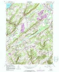
1954 Map of Chester
USGS Topo · Published 1987About this map
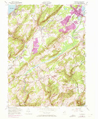
Budd Lake anchors the northwestern corner of this landscape, where the waters of Turkey Brook begin their descent through a terrain defined by the Schooleys Mountain ridge and the agricultural expanse of German Valley. By the mid-1950s, the rural character of communities like Chester and Flanders remained largely intact, though the purple revisions added in later decades reveal the emerging expansion of urban footprints near Succasunna and Horseshoe Lake. The industrial and transit history of the region is evident in the path of the Central Railroad of New Jersey and various extractive sites such as the Sand Pit and Gravel Pit. Significant portions of the landscape are dedicated to conservation and recreation, including the sprawling Black River Wildlife Area and Hacklebarney State Park, which protect the corridors of the Lamington River and the South Branch Raritan River.
Find a feature on this map
53 named features on this map. Tap any name to fly to it.
Don’t see what you’re looking for? This feature index may not catch every label — zoom into the map to look around manually.
Map Details
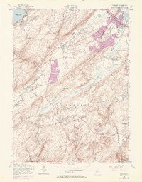
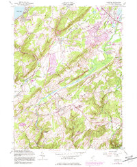
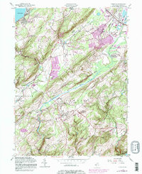
Editions of this 1954 Chester Map
8 editions found
Other maps of this area

1888 · Hackettstown
USGS Topo · 1:62,500

1888 · Lake Hopatcong
USGS Topo · 1:62,500

1890 · High Bridge
USGS Topo · 1:62,500

1891 · Somerville
USGS Topo · 1:62,500

1893 · Somerville
USGS Topo · 1:62,500

1894 · Hackettstown
USGS Topo · 1:62,500

1894 · Lake Hopatcong
USGS Topo · 1:62,500

1898 · Lake Hopatcong
USGS Topo · 1:62,500

1898 · Hackettstown
USGS Topo · 1:62,500

1898 · High Bridge
USGS Topo · 1:62,500
Featured Places
- Mount Olive, NJ
- Roxbury Township, NJ
- Succasunna, Roxbury Township
- Flanders, Mount Olive
- Budd Lake, Mount Olive