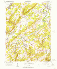
1954 Map of Chester
USGS Topo · Published 1956About this map
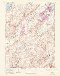
The hills of Morris County in the mid-1950s are defined by the convergence of agricultural tradition and industrial transit, with the New Jersey Central RR and the Lackawanna and Western RR cutting through the valleys. The landscape transitions from the recreational waters of Budd Lake in the northwest down to the protected woodlands of Hacklebarney State Park in the south. Between these points, the area is dotted with historic local hubs like Chester, Flanders, and Succasunna.
Find a feature on this map
57 named features on this map. Tap any name to fly to it.
Don’t see what you’re looking for? This feature index may not catch every label — zoom into the map to look around manually.
Map Details
Editions of this 1954 Chester Map
8 editions found
Other maps of this area

1888 · Hackettstown
USGS Topo · 1:62,500

1888 · Lake Hopatcong
USGS Topo · 1:62,500

1890 · High Bridge
USGS Topo · 1:62,500

1891 · Somerville
USGS Topo · 1:62,500

1893 · Somerville
USGS Topo · 1:62,500

1894 · Hackettstown
USGS Topo · 1:62,500

1894 · Lake Hopatcong
USGS Topo · 1:62,500

1898 · Lake Hopatcong
USGS Topo · 1:62,500

1898 · Hackettstown
USGS Topo · 1:62,500

1898 · High Bridge
USGS Topo · 1:62,500
Featured Places
- Mount Olive, NJ
- Roxbury Township, NJ
- Succasunna, Roxbury Township
- Flanders, Mount Olive
- Budd Lake, Mount Olive