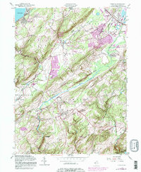
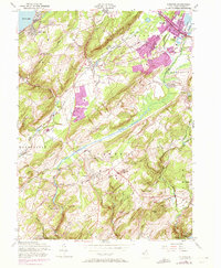
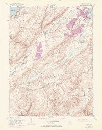
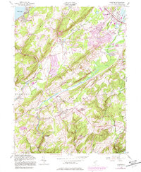
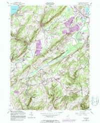
1954 Map of Chester
USGS Topo · Published 1987About this map
The Succasunna Plains and the prominent heights of Mount Olive define this mid-century landscape of Morris County, where industrial rail lines and agricultural valleys meet. The transportation network is anchored by the Central Railroad of New Jersey and Conrail, which serviced the growing communities of Succasunna and Chester. In the lower elevations, the Black River and Lamington River drain the valley floors, providing a natural contrast to the upland terrain of Pleasant Hill.
Find a feature on this map
46 named features on this map. Tap any name to fly to it.
Don’t see what you’re looking for? This feature index may not catch every label — zoom into the map to look around manually.
Map Details
Editions of this 1954 Chester Map
8 editions found
Other maps of this area

1888 · Hackettstown
USGS Topo · 1:62,500

1888 · Lake Hopatcong
USGS Topo · 1:62,500

1890 · High Bridge
USGS Topo · 1:62,500

1891 · Somerville
USGS Topo · 1:62,500

1893 · Somerville
USGS Topo · 1:62,500

1894 · Hackettstown
USGS Topo · 1:62,500

1894 · Lake Hopatcong
USGS Topo · 1:62,500

1898 · Lake Hopatcong
USGS Topo · 1:62,500

1898 · Hackettstown
USGS Topo · 1:62,500

1898 · High Bridge
USGS Topo · 1:62,500
Featured Places
- Mount Olive, NJ
- Roxbury Township, NJ
- Succasunna, Roxbury Township
- Flanders, Mount Olive
- Budd Lake, Mount Olive