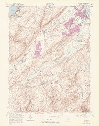
1954 Map of Chester
USGS Topo · Published 1972About this map
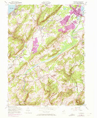
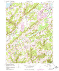
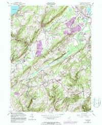
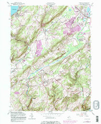
Chester and Succasunna anchor this mid-century topographic survey of Morris County, documenting a landscape at the threshold of significant suburban expansion. While older agricultural nodes like Flanders, Bartley, and Naughright maintain their distinct village footprints, 1970 revisions shown in purple reveal the rapid growth of residential subdivisions north of Drakes Brook and near Hillside Ch. The industrial history of the region is still legible through the Central RR of New Jersey corridors and the presence of a Sand Pit near the Lamington River.
Find a feature on this map
66 named features on this map. Tap any name to fly to it.
Don’t see what you’re looking for? This feature index may not catch every label — zoom into the map to look around manually.
Map Details
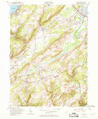
Editions of this 1954 Chester Map
8 editions found
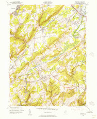
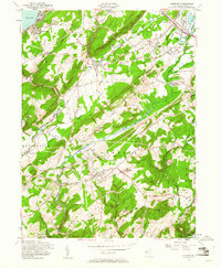
Other maps of this area

1888 · Hackettstown
USGS Topo · 1:62,500

1888 · Lake Hopatcong
USGS Topo · 1:62,500

1890 · High Bridge
USGS Topo · 1:62,500

1891 · Somerville
USGS Topo · 1:62,500

1893 · Somerville
USGS Topo · 1:62,500

1894 · Hackettstown
USGS Topo · 1:62,500

1894 · Lake Hopatcong
USGS Topo · 1:62,500

1898 · Lake Hopatcong
USGS Topo · 1:62,500

1898 · Hackettstown
USGS Topo · 1:62,500

1898 · High Bridge
USGS Topo · 1:62,500
Featured Places
- Mount Olive, NJ
- Roxbury Township, NJ
- Succasunna, Roxbury Township
- Flanders, Mount Olive
- Budd Lake, Mount Olive