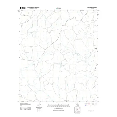
2012 Map of Chatham SE
USGS Topo · Published 2012About this map
Anabel and Cypress anchor a landscape defined by an intricate network of waterways in this 2012 study of rural Ouachita Parish. The drainage pattern is exceptionally detailed, featuring the convergence of Castor Cr and Hurricane Cr alongside smaller streams like Sweetwater Cr and Humble Cr. This web of water is mirrored by a dense system of parish roads and family-named routes, including Jack Crowell Rd and Durwood Crowell Rd, indicating a history of long-standing family landholdings and rural settlement.
Find a feature on this map
82 named features on this map. Tap any name to fly to it.
Don’t see what you’re looking for? This feature index may not catch every label — zoom into the map to look around manually.
Map Details
Editions of this 2012 Chatham SE Map
This is the sole edition of this map. No revisions or reprints were ever made.
Other maps of this area

1940 · Monroe
USGS Topo · 1:62,500

1940 · Columbia
USGS Topo · 1:62,500

1953 · Chatham
USGS Topo · 1:62,500

1954 · Sikes
USGS Topo · 1:62,500

1955 · Shreveport
USGS Topo · 1:250,000

1956 · Shreveport
USGS Topo · 1:250,000

1957 · Columbia
USGS Topo · 1:62,500

1957 · West Monroe South
USGS Topo · 1:24,000

1957 · Monroe South
USGS Topo · 1:62,500

1982 · Chatham
USGS Topo · 1:24,000