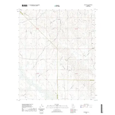
2020 Map of Chatham SE
USGS Topo · Published 2020About this map
Castor Cr and its surrounding wetlands dominate the southern reaches of this landscape where the boundaries of Jackson, Caldwell, and Ouachita Parishes meet. The terrain is defined by a dense network of small watercourses including Hurricane Cr, Glade Cr, and Bayou Lapine, which dictate the placement of local thoroughfares and family-named homesteads. Small rural settlements like Tama and Cypress are connected by a web of parish roads, reflecting a community structure rooted in local agriculture and timber.
Find a feature on this map
79 named features on this map. Tap any name to fly to it.
Don’t see what you’re looking for? This feature index may not catch every label — zoom into the map to look around manually.
Map Details
Editions of this 2020 Chatham SE Map
This is the sole edition of this map. No revisions or reprints were ever made.
Other maps of this area

1940 · Monroe
USGS Topo · 1:62,500

1940 · Columbia
USGS Topo · 1:62,500

1953 · Chatham
USGS Topo · 1:62,500

1954 · Sikes
USGS Topo · 1:62,500

1955 · Shreveport
USGS Topo · 1:250,000

1956 · Shreveport
USGS Topo · 1:250,000

1957 · Columbia
USGS Topo · 1:62,500

1957 · West Monroe South
USGS Topo · 1:24,000

1957 · Monroe South
USGS Topo · 1:62,500

1982 · Chatham
USGS Topo · 1:24,000