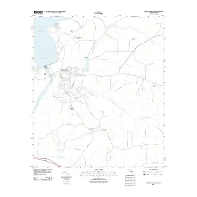
2011 Map of Chattahoochee
USGS Topo · Published 2011About this map
The Apalachicola River flows south from the massive Jim Woodruff Dam, which holds back the waters of Lake Seminole at the confluence of Georgia and Florida. The town of Chattahoochee and the adjacent River Junction serve as the primary human centers, while the surrounding landscape is defined by the winding paths of North Mosquito Creek and South Mosquito Creek. The presence of Chattahoochee Landing and River Junction Landing along the riverbanks points to a long history of water-based transport, even as modern infrastructure like the Victory Bridge spans the channel.
Find a feature on this map
60 named features on this map. Tap any name to fly to it.
Don’t see what you’re looking for? This feature index may not catch every label — zoom into the map to look around manually.
Map Details
Editions of this 2011 Chattahoochee Map
This is the sole edition of this map. No revisions or reprints were ever made.
Other maps of this area

1954 · Sneads
USGS Topo · 1:24,000

1954 · Tallahassee
USGS Topo · 1:250,000

1955 · Fairchild
USGS Topo · 1:24,000

1955 · Reynoldsville
USGS Topo · 1:24,000

1955 · Rock Bluff
USGS Topo · 1:24,000

1955 · Sycamore
USGS Topo · 1:24,000

1955 · Chattahoochee
USGS Topo · 1:24,000

1955 · Bainbridge
USGS Topo · 1:62,500

1955 · Mt Pleasant
USGS Topo · 1:24,000

1959 · Tallahassee
USGS Topo · 1:250,000