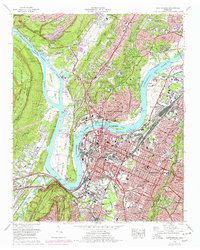
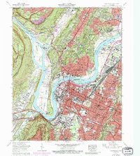
1969 Map of Chattanooga
USGS Topo · Published 1978About this map
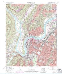
Lookout Mountain and the Cumberland Escarpment loom over the riverfront in this detailed study of the Tennessee Valley. The industrial and transport heart of the city is captured in high detail, showing the massive rail infrastructure of the Harry Debutts Yards (Southern) and the Central of Georgia. The geography of the city is defined by the sharp curves of the Tennessee River at Moccasin Bend, where the Moccasin Bend Psychiatric Hospital and the Moccasin Bend Golf Course sit across from the downtown core. Settlement patterns extend from the dense urban blocks of North Chattanooga to the suburban developments of Stuart Heights and Red Bank. Cultural and civic landmarks include the National Cemetery and the University of Tennessee at Chattanooga, while older community markers like Tudor Cem and Beck Cem provide valuable touchpoints for local family history.
Find a feature on this map
186 named features on this map. Tap any name to fly to it.
Don’t see what you’re looking for? This feature index may not catch every label — zoom into the map to look around manually.
Map Details
Editions of this 1969 Chattanooga Map
6 editions found
Other maps of this area

1886 · Ringgold
USGS Topo · 1:125,000

1888 · Chattanooga
USGS Topo · 1:125,000

1892 · Ringgold
USGS Topo · 1:125,000

1893 · Chattanooga
USGS Topo · 1:125,000

1935 · East Chattanooga
USGS Topo · 1:24,000

1935 · Daisy
USGS Topo · 1:24,000

1935 · East Ridge
USGS Topo · 1:24,000

1936 · Ketner Gap
USGS Topo · 1:24,000

1936 · Hooker
USGS Topo · 1:24,000

1936 · Fort Oglethorpe
USGS Topo · 1:24,000