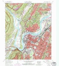
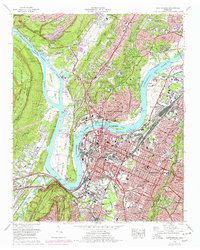
1969 Map of Chattanooga
USGS Topo · Published 1987About this map
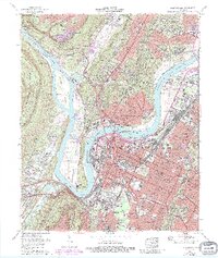
The Tennessee River creates a dramatic series of loops and bends at the base of the Cumberland Escarpment, defining the industrial and civic heart of this mid-century Southern city. By the late 1960s, the urban landscape of Chattanooga is anchored by the National Cemetery and the sprawling University of Tennessee at Chattanooga campus, while industrial rail hubs like Cravens Yards support the region's commerce. The map documents the city's expansion through purple-tinted urban extensions into neighborhoods like North Chattanooga, St Elmo, and Alton Park.
Find a feature on this map
123 named features on this map. Tap any name to fly to it.
Don’t see what you’re looking for? This feature index may not catch every label — zoom into the map to look around manually.
Map Details
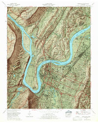
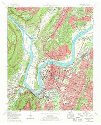
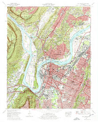
Editions of this 1969 Chattanooga Map
6 editions found
Other maps of this area

1886 · Ringgold
USGS Topo · 1:125,000

1888 · Chattanooga
USGS Topo · 1:125,000

1892 · Ringgold
USGS Topo · 1:125,000

1893 · Chattanooga
USGS Topo · 1:125,000

1935 · East Chattanooga
USGS Topo · 1:24,000

1935 · Daisy
USGS Topo · 1:24,000

1935 · East Ridge
USGS Topo · 1:24,000

1936 · Ketner Gap
USGS Topo · 1:24,000

1936 · Hooker
USGS Topo · 1:24,000

1936 · Fort Oglethorpe
USGS Topo · 1:24,000