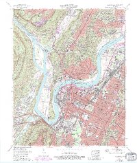
1969 Map of Chattanooga
USGS Topo · Published 1987About this map
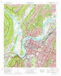
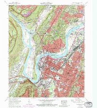
Chattanooga serves as the focal point of this late 1960s survey, illustrating a dense urban landscape defined by the winding Tennessee River and the towering Cumberland Escarpment. The city's geography is famously shaped by Moccasin Bend, where the river makes a sharp turn around a peninsula housing the Moccasin Bend Psychiatric Hospital and the Moccasin Bend Golf Course. To the south, the massive Chickamauga and Chattanooga National Military Park preserves the ground of the Civil War’s "Battle Above the Clouds" on the slopes of the mountain.
Find a feature on this map
92 named features on this map. Tap any name to fly to it.
Don’t see what you’re looking for? This feature index may not catch every label — zoom into the map to look around manually.
Map Details
Editions of this 1969 Chattanooga Map
6 editions found
Other maps of this area

1886 · Ringgold
USGS Topo · 1:125,000

1888 · Chattanooga
USGS Topo · 1:125,000

1892 · Ringgold
USGS Topo · 1:125,000

1893 · Chattanooga
USGS Topo · 1:125,000

1935 · East Chattanooga
USGS Topo · 1:24,000

1935 · Daisy
USGS Topo · 1:24,000

1935 · East Ridge
USGS Topo · 1:24,000

1936 · Ketner Gap
USGS Topo · 1:24,000

1936 · Hooker
USGS Topo · 1:24,000

1936 · Fort Oglethorpe
USGS Topo · 1:24,000