
1954 Map of Chautauqua
USGS Topo · Published 1956About this map
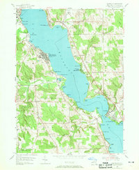
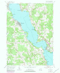
Chautauqua Lake dominates the center of this 1950s survey, illustrating the densely developed shoreline and cultural infrastructure of the mid-20th century. The Chautauqua Institution is a prominent focus on the western shore, featuring the Amphitheater and Bell Tower, while the Pennsylvania RR runs along the northwestern edge near Mayville. The landscape transitions from leisure and educational hubs like Midway Park and Maple Springs to a more rural agricultural and forested interior in Harmony and Ellery.
Find a feature on this map
83 named features on this map. Tap any name to fly to it.
Don’t see what you’re looking for? This feature index may not catch every label — zoom into the map to look around manually.
Map Details
Editions of this 1954 Chautauqua Map
3 editions found
Other maps of this area

1899 · Westfield
USGS Topo · 1:62,500

1900 · Dunkirk
USGS Topo · 1:62,500

1904 · Chautaqua
USGS Topo · 1:62,500

1905 · Clymer
USGS Topo · 1:62,500

1939 · Clymer
USGS Topo · 1:62,500

1941 · Chautauqua
USGS Topo · 1:62,500

1941 · Clymer
USGS Topo · 1:62,500

1943 · Dunkirk
USGS Topo · 1:62,500

1954 · Ellery Center
USGS Topo · 1:24,000
1954 · Hartfield
USGS Topo · 1:24,000