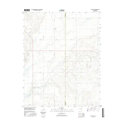
2016 Map of Chelsea NW
USGS Topo · Published 2016About this map
The county boundary between Nowata Co and Craig Co bisects this Oklahoma landscape, where the prairie topography is defined by the Coker Hills and a dense network of watercourses. Small family and community landmarks like McMains Cem and Madden Cem are preserved here, tucked between the section-line roads and the winding paths of Lightning Creek and its tributaries. The drainage patterns of Madden Cr, Salt Cr, and Little Salt Cr reveal the natural contours of the land, which has been modified by the construction of the Spur Ranch Reservoir in the northeast. This area remains largely defined by its rural road grid and agricultural character, maintaining a spatial organization that has persisted through generations of local land use in the northeastern part of the state.
Find a feature on this map
33 named features on this map. Tap any name to fly to it.
Don’t see what you’re looking for? This feature index may not catch every label — zoom into the map to look around manually.
Map Details
Editions of this 2016 Chelsea NW Map
This is the sole edition of this map. No revisions or reprints were ever made.
Other maps of this area

1901 · Nowata
USGS Topo · 1:125,000

1901 · Vinita
USGS Topo · 1:125,000

1913 · Vinita
USGS Topo · 1:125,000

1914 · Nowata
USGS Topo · 1:125,000

1954 · Tulsa
USGS Topo · 1:250,000

1958 · Tulsa
USGS Topo · 1:250,000

1963 · Tulsa
USGS Topo · 1:250,000

1970 · Chelsea
USGS Topo · 1:24,000

1970 · White Oak
USGS Topo · 1:24,000
1970 · Winganon
USGS Topo · 1:24,000