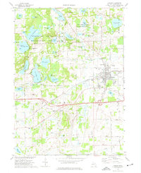
1973 Map of Chelsea
USGS Topo · Published 1977About this map
Chelsea serves as the primary hub of this 1970s landscape, positioned at the intersection of the Penn Central railroad and a network of arterial roads like Dexter Chelsea Road. The western portion of the map is dominated by the glacial topography and water bodies of the Waterloo State Recreation Area, including the substantial Winnewana Impoundment and the family-recreation shores of Cavanaugh Lake. This area reveals a mix of mid-century institutional and recreational land use, featuring the Cassidy Lake Technical Sch and various campgrounds like Camp Ma-Hi-Ya.
Find a feature on this map
111 named features on this map. Tap any name to fly to it.
Don’t see what you’re looking for? This feature index may not catch every label — zoom into the map to look around manually.
Map Details
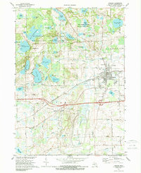
Editions of this 1973 Chelsea Map
2 editions found
Other maps of this area

1902 · Dexter
USGS Topo · 1:62,500

1904 · Ann Arbor
USGS Topo · 1:125,000

1906 · Dexter
USGS Topo · 1:62,500

1906 · Saline
USGS Topo · 1:62,500

1908 · Ann Arbor
USGS Topo · 1:125,000

1919 · Stockbridge
USGS Topo · 1:62,500

1922 · Stockbridge
USGS Topo · 1:62,500

1942 · Stockbridge
USGS Topo · 1:62,500

1948 · Manchester
USGS Topo · 1:62,500

1949 · Manchester
USGS Topo · 1:62,500