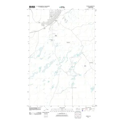
2011 Map of Cheney
USGS Topo · Published 2011About this map
Eastern Washington University serves as a prominent anchor for the city of Cheney, defining the northern portion of this map with its academic campus and surrounding grid. The landscape quickly transitions south of town into a complex wetland and lacustrine environment. This area is characterized by a high density of water bodies, including Findley Lake, McDowell Lake, and the expansive Turnbull Slough. The intricate network of lakes, such as Blackhorse Lake and Lower Pine Lake, suggests a geography shaped by glacial activity or basalt depressions typical of the region's Channeled Scablands.
Find a feature on this map
49 named features on this map. Tap any name to fly to it.
Don’t see what you’re looking for? This feature index may not catch every label — zoom into the map to look around manually.
Map Details
Editions of this 2011 Cheney Map
This is the sole edition of this map. No revisions or reprints were ever made.
Other maps of this area

1901 · Spokane
USGS Topo · 1:125,000

1903 · Oakesdale
USGS Topo · 1:125,000

1905 · Oakesdale
USGS Topo · 1:125,000

1943 · Medical Lake
USGS Topo · 1:62,500

1950 · Spokane SW
USGS Topo · 1:24,000

1950 · Spokane
USGS Topo · 1:62,500

1954 · Medical Lake
USGS Topo · 1:24,000

1954 · Medical Lake
USGS Topo · 1:62,500

1954 · Cheney
USGS Topo · 1:62,500

1954 · Spangle
USGS Topo · 1:62,500