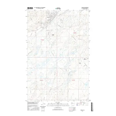
2017 Map of Cheney
USGS Topo · Published 2017About this map
Eastern Washington Univ serves as the focal point for the city of Cheney, located in a landscape defined by an intricate network of wetlands and small lakes. The grid of the university town transition into outlying areas like South Cheney and East Cheney, where the terrain becomes dominated by diverse water bodies such as Findley Lake, Kepple Lake, and McDowell Lake. This geography reflects the glacial history of the region, where numerous basins have filled to create a complex hydrologic system including Turnbull Slough and Rock Cr.
Find a feature on this map
92 named features on this map. Tap any name to fly to it.
Don’t see what you’re looking for? This feature index may not catch every label — zoom into the map to look around manually.
Map Details
Editions of this 2017 Cheney Map
This is the sole edition of this map. No revisions or reprints were ever made.
Other maps of this area

1901 · Spokane
USGS Topo · 1:125,000

1903 · Oakesdale
USGS Topo · 1:125,000

1905 · Oakesdale
USGS Topo · 1:125,000

1943 · Medical Lake
USGS Topo · 1:62,500

1950 · Spokane SW
USGS Topo · 1:24,000

1950 · Spokane
USGS Topo · 1:62,500

1954 · Medical Lake
USGS Topo · 1:24,000

1954 · Medical Lake
USGS Topo · 1:62,500

1954 · Cheney
USGS Topo · 1:62,500

1954 · Spangle
USGS Topo · 1:62,500