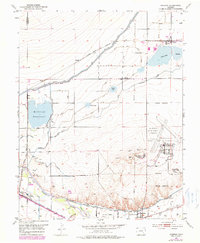
1953 Map of Cheraw
USGS Topo · Published 1979About this map
The Arkansas River valley defines this irrigation-driven landscape, where a sophisticated network of canals and reservoirs supports the agricultural economy of Otero County. Centered on the town of Cheraw, the map illustrates a terrain marked by water management features like the Fort Lyon Storage Canal, Lake Canal, and the expansive Holbrook Reservoir. These systems were vital for local industry, most notably the Sugar Refinery located near the riverbank.
Find a feature on this map
27 named features on this map. Tap any name to fly to it.
Don’t see what you’re looking for? This feature index may not catch every label — zoom into the map to look around manually.
Map Details
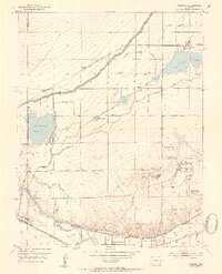
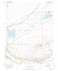
Editions of this 1953 Cheraw Map
4 editions found
Other maps of this area

1891 · Catlin
USGS Topo · 1:125,000

1891 · Higbee
USGS Topo · 1:125,000

1891 · Las Animas
USGS Topo · 1:125,000

1891 · Timpas
USGS Topo · 1:125,000

1893 · Higbee
USGS Topo · 1:125,000

1893 · Las Animas
USGS Topo · 1:125,000

1893 · Catlin
USGS Topo · 1:125,000

1894 · Timpas
USGS Topo · 1:125,000

1953 · Cheraw
USGS Topo · 1:24,000

1953 · Hadley
USGS Topo · 1:24,000