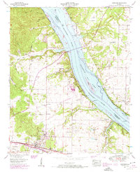
1954 Map of Cherokee
USGS Topo · Published 1974About this map
The Tennessee River corridor in Colbert and Lauderdale Counties centers on the settlement of Cherokee and the expansive waters of Pickwick Lake. This 1950s survey, updated with late-1960s revisions, illustrates the industrial and transit-driven nature of the region, where the Southern Railway runs parallel to Highway 72, connecting the town to larger markets. The landscape is defined by the Pickwick Reservation Boundary, which preserves the shoreline around landmarks like the pumping station and gaging station. Genealogists will find a high concentration of burial sites and rural congregations, including Cherokee Cem, Harris Chapel, and the riverside Perkins Cem. To the north, the Natchez Trace Parkway cuts across the terrain, passing through ancient topography like Coon Hollow and White Oak Hollow. This era reflects a landscape transitioning through modern infrastructure projects like the substation and various quarries, yet still anchored by established communities such as Smithsonia and Medford.
Find a feature on this map
50 named features on this map. Tap any name to fly to it.
Don’t see what you’re looking for? This feature index may not catch every label — zoom into the map to look around manually.
Map Details
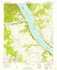
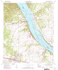
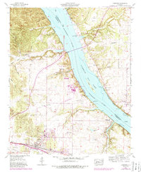
Editions of this 1954 Cherokee Map
4 editions found
Other maps of this area

1911 · Iuka
USGS Topo · 1:48,000

1914 · Iuka
USGS Topo · 1:62,500

1924 · Gravelly Springs
USGS Topo · 1:48,000

1925 · Barton
USGS Topo · 1:62,500

1926 · Barton
USGS Topo · 1:48,000

1926 · Gravelly Springs
USGS Topo · 1:62,500

1929 · Barton
USGS Topo · 1:62,500

1935 · Cherokee
USGS Topo · 1:24,000

1935 · Wright
USGS Topo · 1:24,000

1936 · Margerum
USGS Topo · 1:24,000