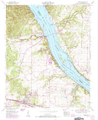
1954 Map of Cherokee
USGS Topo · Published 1984About this map
Cherokee serves as a focal point in this mid-century survey of Northwest Alabama, positioned along the Southern Railway corridor just south of the Tennessee River. The landscape is defined by the expansive Pickwick Lake and its intricate shoreline, including the large Kogers Island and the Mulberry Creek Cabin Area. The Natchez Trace Parkway cuts diagonally across the terrain, reflecting the area's historical importance as a transit route. Significant genealogical detail is preserved through numerous family and community sites, such as Moontown Ch, Monk Chapel, and several burial grounds including Lane Cem and Pride Cem. The northern banks in Lauderdale County, featuring Smithsonia, contrast with the more developed rail-oriented infrastructure around the Cherokee School and local quarries, illustrating the intersection of river-based recreation and inland industrial activity during the 1950s.
Find a feature on this map
51 named features on this map. Tap any name to fly to it.
Don’t see what you’re looking for? This feature index may not catch every label — zoom into the map to look around manually.
Map Details
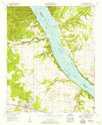
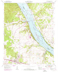
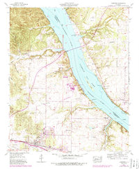
Editions of this 1954 Cherokee Map
4 editions found
Other maps of this area

1911 · Iuka
USGS Topo · 1:48,000

1914 · Iuka
USGS Topo · 1:62,500

1924 · Gravelly Springs
USGS Topo · 1:48,000

1925 · Barton
USGS Topo · 1:62,500

1926 · Barton
USGS Topo · 1:48,000

1926 · Gravelly Springs
USGS Topo · 1:62,500

1929 · Barton
USGS Topo · 1:62,500

1935 · Cherokee
USGS Topo · 1:24,000

1935 · Wright
USGS Topo · 1:24,000

1936 · Margerum
USGS Topo · 1:24,000