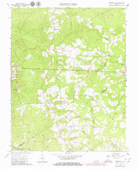
1963 Map of Cherry Hill
USGS Topo · Published 1980About this map
Sappony Creek and its complex network of tributaries, including Millrun Branch and Double Branch, define the topography of this rural landscape where the boundaries of Dinwiddie and Sussex counties meet. Historically anchored by small commerce centers like Wharfs Store, Cherry Hill, and Bolsters Store, the region is characterized by a high density of family-named cemeteries such as Boisseau Cem, Galusha Cem, and Winfield Cem, which offer significant value for genealogical research. Local spiritual and educational life is represented by structures like Mt Olivet Ch and the Midlothian Sch. Near the eastern edge, Winfields Millpond suggests the area's earlier milling history along the waterways. The landscape transitions south toward the Nottoway River and the Greensville Co line, with the prominent height of Rocky Mountain standing near Rocky Mountain Ch.
Find a feature on this map
40 named features on this map. Tap any name to fly to it.
Don’t see what you’re looking for? This feature index may not catch every label — zoom into the map to look around manually.
Map Details
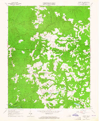
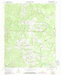
Editions of this 1963 Cherry Hill Map
3 editions found
Other maps of this area

1894 · Petersburg
USGS Topo · 1:62,500

1897 · Amelia
USGS Topo · 1:125,000

1919 · Jarratt
USGS Topo · 1:62,500

1919 · Mc Kenney
USGS Topo · 1:48,000

1921 · Mc Kenney
USGS Topo · 1:62,500

1943 · Mc Kenney
USGS Topo · 1:62,500

1943 · De Witt
USGS Topo · 1:24,000

1943 · Dinwiddie
USGS Topo · 1:24,000

1943 · Richmond
USGS Topo · 1:250,000

1944 · Reams
USGS Topo · 1:31,680