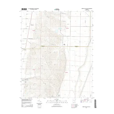
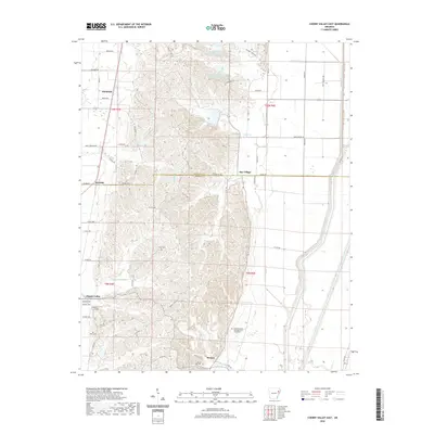
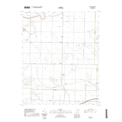
2024 Map of Cherry Valley East
USGS Topo · Published 2024About this map
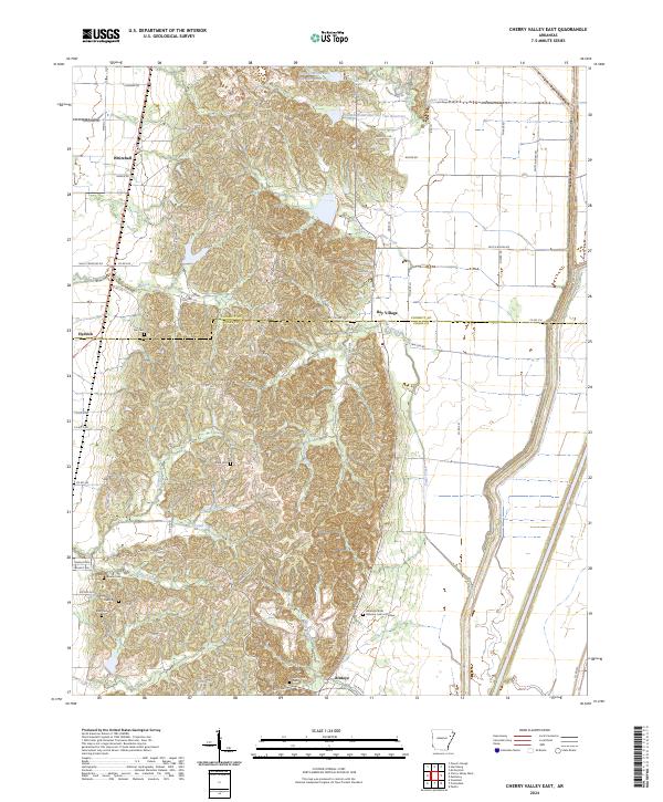
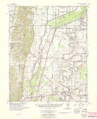
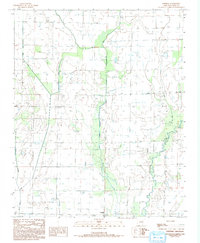
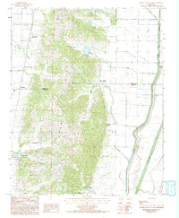
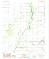
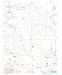
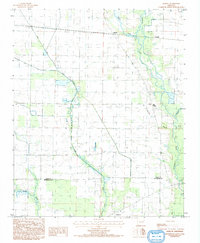
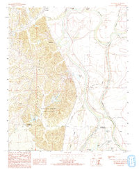
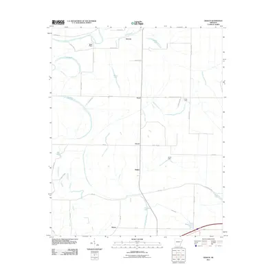
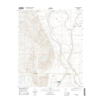
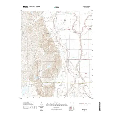
Crowleys Ridge rises as the dominant geological feature of this landscape, creating a distinct topographical corridor between the lower alluvial plains of Cross Co and Poinsett Co. This elevated terrain is characterized by a high density of rural cemeteries, including Tyer Cem, Stark Cem, and Riley Cem, suggesting a long history of family settlement along the ridge's reliable high ground. The southern end of the ridge is marked by the Arkansas State Veterans Cem at Birdeye, situated near the community of Birdeye. The transition from the rugged ridge to the surrounding flatland is defined by numerous watercourses such as Hydrick Creek and Halk Creek. Small settlements like Bay Village and Whitehall anchor the road network, which navigates the complex elevation changes before straightening into the grid of the eastern valley floor near Sugar Creek.
Find a feature on this map
64 named features on this map. Tap any name to fly to it.
Don’t see what you’re looking for? This feature index may not catch every label — zoom into the map to look around manually.
Map Details
Editions of this 2024 Cherry Valley East Map
This is the sole edition of this map. No revisions or reprints were ever made.
Historical Maps of Cherry Valley Through Time
52 maps found
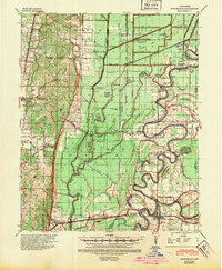
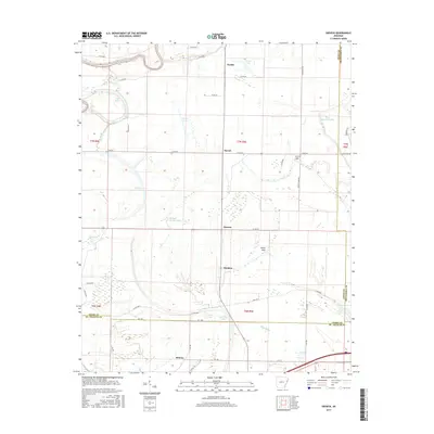
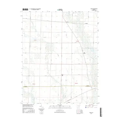
1940 Princedale
Cross County, AR
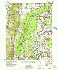
1956 Princedale
Cross County, AR
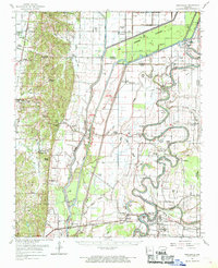
1962 Princedale
Cross County, AR
1966 Princedale
Cross County, AR
1984 Central
Cross County, AR
1984 Cherry Valley East
Cross County, AR
1984 Cherry Valley West
Cross County, AR
1984 Gieseck
Cross County, AR
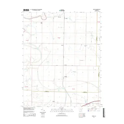
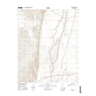
1984 Hamlin
Cross County, AR
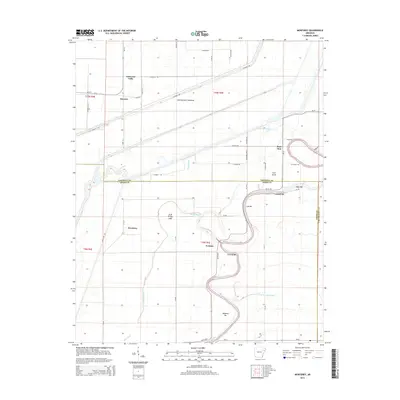
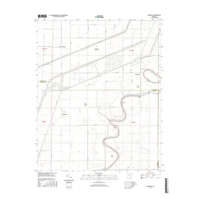
1984 Monterey
Cross County, AR
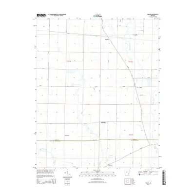
1984 Princedale
Cross County, AR
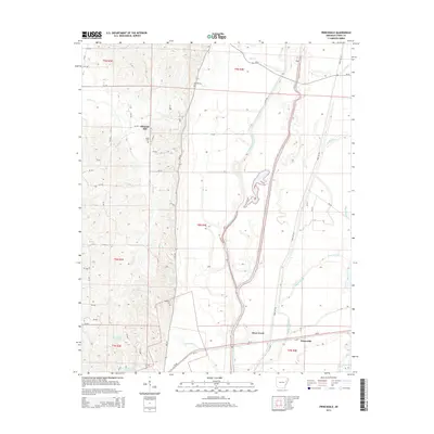
1984 Wittsburg
Cross County, AR
2011 Central
Cross County, AR
2011 Cherry Valley East
Cross County, AR
2011 Cherry Valley West
Cross County, AR
2011 Gieseck
Cross County, AR
2011 Hamlin
Cross County, AR
2011 Monterey
Cross County, AR
2011 Princedale
Cross County, AR
2011 Wittsburg
Cross County, AR
2014 Central
Cross County, AR
2014 Cherry Valley East
Cross County, AR
2014 Cherry Valley West
Cross County, AR
2014 Gieseck
Cross County, AR
2014 Hamlin
Cross County, AR
2014 Monterey
Cross County, AR
2014 Princedale
Cross County, AR
2014 Wittsburg
Cross County, AR
2017 Central
Cross County, AR
2017 Cherry Valley East
Cross County, AR
2017 Cherry Valley West
Cross County, AR
2017 Gieseck
Cross County, AR
2017 Hamlin
Cross County, AR
2017 Monterey
Cross County, AR
2017 Princedale
Cross County, AR
2017 Wittsburg
Cross County, AR
2020 Central
Cross County, AR
2020 Cherry Valley East
Cross County, AR
2020 Cherry Valley West
Cross County, AR
2020 Gieseck
Cross County, AR
2020 Hamlin
Cross County, AR
2020 Monterey
Cross County, AR
2020 Princedale
Cross County, AR
2020 Wittsburg
Cross County, AR
2024 Central
Cross County, AR
2024 Cherry Valley East
Cross County, AR
2024 Cherry Valley West
Cross County, AR
2024 Gieseck
Cross County, AR
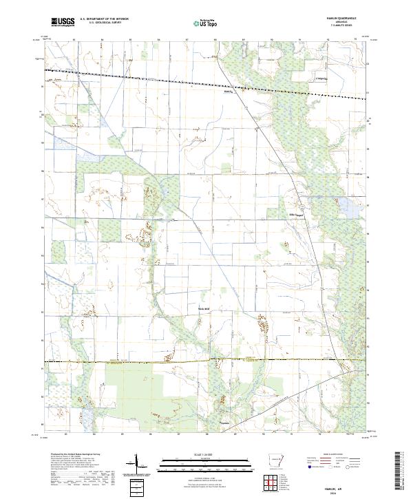
2024 Hamlin
Cross County, AR
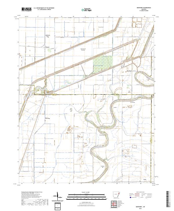
2024 Monterey
Cross County, AR
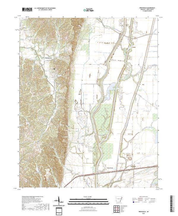
2024 Princedale
Cross County, AR
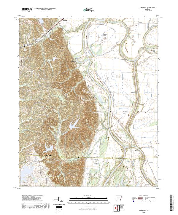
2024 Wittsburg
Cross County, AR