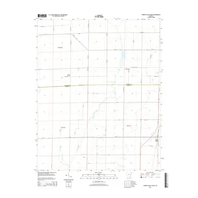
2014 Map of Cherry Valley West
USGS Topo · Published 2014About this map
Cherry Valley anchors the southeastern corner of this landscape, where the agricultural plains of the Mississippi Alluvial Plain meet the drainage networks of the L'Anguille River. The terrain is defined by its low-lying hydrology, featuring systems like Wolf Pen Slough, Prairie Cr, and the extensive Caney Bottoms. This 2014 survey illustrates a highly managed landscape, where local infrastructure such as Ditch Number 15 works in tandem with natural waterways like Hydrick Cr and Cooper Cr to support the surrounding farmland. The section lines and county boundaries, including the line between Poinsett Co and Cross Co, dictate the geometric road grid. This grid is populated by family-named routes like Roberts Ln N and Speigle Rd, reflecting the enduring rural settlement patterns of this Arkansas region.
Find a feature on this map
57 named features on this map. Tap any name to fly to it.
Don’t see what you’re looking for? This feature index may not catch every label — zoom into the map to look around manually.
Map Details
Editions of this 2014 Cherry Valley West Map
This is the sole edition of this map. No revisions or reprints were ever made.
Other maps of this area

1939 · Vanndale
USGS Topo · 1:62,500

1939 · Weiner
USGS Topo · 1:62,500

1940 · Princedale
USGS Topo · 1:62,500

1940 · Dee
USGS Topo · 1:62,500

1953 · Memphis
USGS Topo · 1:250,000

1956 · Memphis
USGS Topo · 1:250,000

1956 · Princedale
USGS Topo · 1:62,500

1958 · Dee
USGS Topo · 1:62,500

1958 · Vanndale
USGS Topo · 1:62,500

1959 · Weiner
USGS Topo · 1:62,500