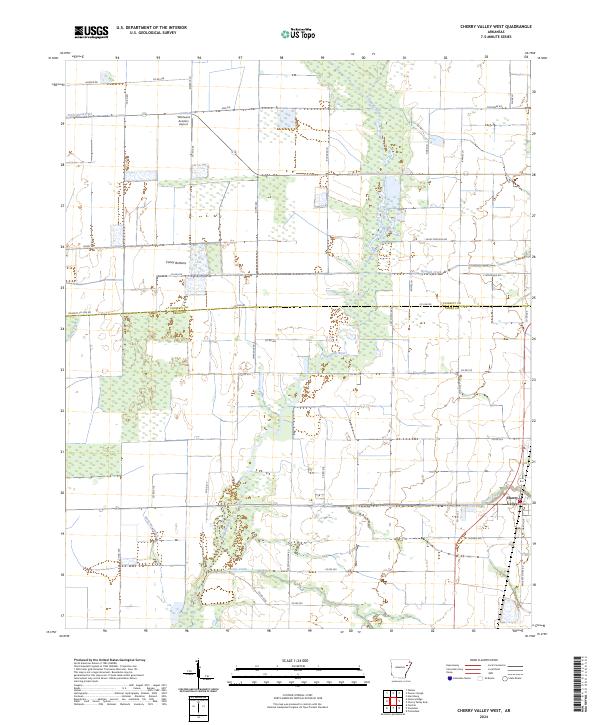
2024 Map of Cherry Valley West
USGS Topo · Published 2024About this map
The L'Anguille River and its dense network of tributaries and wetlands dominate the landscape west of Cherry Valley. This low-lying alluvial terrain in Cross County is defined by a complex drainage system, including Wolf Pen Slough, Hydrick Creek, and the expansive Caney Bottoms. The agricultural character of the region is evident in the rectilinear road grid and features like Ditch Number 15, which point to historical efforts to manage the water-rich bottomlands for cultivation.
Find a feature on this map
52 named features on this map. Tap any name to fly to it.
Don’t see what you’re looking for? This feature index may not catch every label — zoom into the map to look around manually.
Map Details
Editions of this 2024 Cherry Valley West Map
This is the sole edition of this map. No revisions or reprints were ever made.
Other maps of this area

1939 · Vanndale
USGS Topo · 1:62,500

1939 · Weiner
USGS Topo · 1:62,500

1940 · Princedale
USGS Topo · 1:62,500

1940 · Dee
USGS Topo · 1:62,500

1953 · Memphis
USGS Topo · 1:250,000

1956 · Memphis
USGS Topo · 1:250,000

1956 · Princedale
USGS Topo · 1:62,500

1958 · Dee
USGS Topo · 1:62,500

1958 · Vanndale
USGS Topo · 1:62,500

1959 · Weiner
USGS Topo · 1:62,500