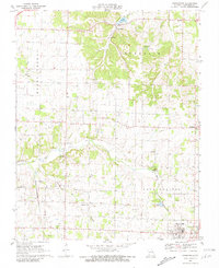
1969 Map of Chesapeake
USGS Topo · Published 1981About this map
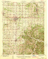
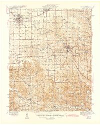
Marionville anchors the southern edge of this Missouri landscape, appearing as a developed grid at the intersection of local rail and road networks in the late 1960s. The town's proximity to the St Louis - San Francisco railroad highlights its historical role as a transit point for the region’s agricultural output. Northward, the topography transitions from the open stretches of Buck Prairie and Aurora into the more broken terrain of Turnback. This area is dotted with small rural communities and local landmarks, including Chesapeake and McKinley, alongside several denominational sites like McNatt Chapel and Mt Olive Ch.
Find a feature on this map
26 named features on this map. Tap any name to fly to it.
Don’t see what you’re looking for? This feature index may not catch every label — zoom into the map to look around manually.
Map Details
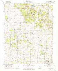
Editions of this 1969 Chesapeake Map
2 editions found
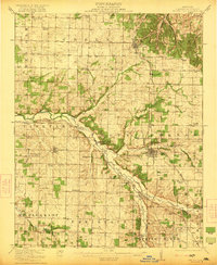
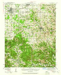
Other maps of this area

1886 · Greenfield
USGS Topo · 1:125,000

1888 · Greenfield
USGS Topo · 1:125,000

1919 · Halltown
USGS Topo · 1:62,500
1921 · Stotts City
USGS Topo · 1:62,500
1942 · Aurora
USGS Topo · 1:62,500
1943 · Monett
USGS Topo · 1:62,500

1945 · Harrison
USGS Topo · 1:250,000
1945 · Aurora
USGS Topo · 1:62,500

1949 · Harrison
USGS Topo · 1:250,000

1954 · Harrison
USGS Topo · 1:250,000