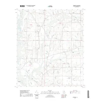
2018 Map of Chesbrough
USGS Topo · Published 2018About this map
The Tangipahoa River flows along the western edge of this landscape, anchoring a network of creek drainages in Tangipahoa Parish. The settlement patterns reflect a deep-rooted rural community, with small nodes like Chesbrough, Bolivar, and Sandy Hollow connected by a web of local roads such as Jeff Bankston Rd and State Rte 1059. The terrain is defined by its watercourses, including Big Creek, Bunch Br, and Hyde Br, which create a complex of bottomlands and low ridges.
Find a feature on this map
106 named features on this map. Tap any name to fly to it.
Don’t see what you’re looking for? This feature index may not catch every label — zoom into the map to look around manually.
Map Details
Editions of this 2018 Chesbrough Map
This is the sole edition of this map. No revisions or reprints were ever made.
Other maps of this area

1939 · Sunny Hill
USGS Topo · 1:31,680

1940 · Spring Creek
USGS Topo · 1:31,680

1940 · Roseland
USGS Topo · 1:31,680

1942 · Roseland
USGS Topo · 1:31,680

1942 · Husser
USGS Topo · 1:31,680

1942 · Wilmer
USGS Topo · 1:31,680

1942 · Loranger
USGS Topo · 1:31,680

1949 · Bolivar
USGS Topo · 1:31,680

1949 · Amite
USGS Topo · 1:31,680

1950 · Kentwood
USGS Topo · 1:31,680