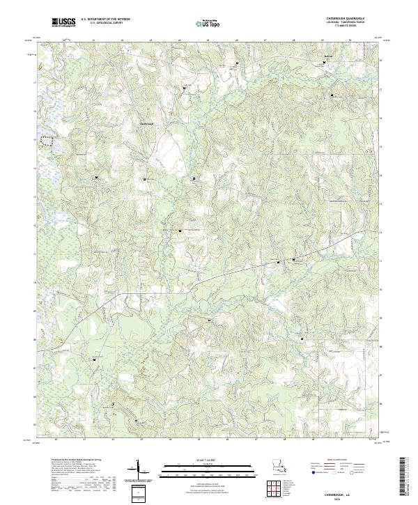
2024 Map of Chesbrough
USGS Topo · Published 2024About this map
Chesbrough and Bolivar anchor this corner of Tangipahoa Parish, where the landscape is defined by the winding course of the Tangipahoa River and a dense network of creek branches. The map reveals a deeply rooted rural community, marked by numerous family and church burial grounds such as Lebo Cem, Varnado Cem, and the Old Bankston Cem. Local road names like M L Varnado Rd and Monroe Stevens Rd further emphasize the generational ties to the land. This survey illustrates how the timbered uplands drain into significant watercourses like Big Creek and Sandy Hollow, while modern developments like Providence Ests begin to appear near the southern boundary. Genealogists will find particular value in the distribution of community centers like the Bolivar Baptist Cem and Good Hope Church Cem, which serve as long-standing geographic landmarks for the surrounding homesteads.
Find a feature on this map
117 named features on this map. Tap any name to fly to it.
Don’t see what you’re looking for? This feature index may not catch every label — zoom into the map to look around manually.
Map Details
Editions of this 2024 Chesbrough Map
This is the sole edition of this map. No revisions or reprints were ever made.
Other maps of this area

1939 · Sunny Hill
USGS Topo · 1:31,680

1940 · Spring Creek
USGS Topo · 1:31,680

1940 · Roseland
USGS Topo · 1:31,680

1942 · Roseland
USGS Topo · 1:31,680

1942 · Husser
USGS Topo · 1:31,680

1942 · Wilmer
USGS Topo · 1:31,680

1942 · Loranger
USGS Topo · 1:31,680

1949 · Bolivar
USGS Topo · 1:31,680

1949 · Amite
USGS Topo · 1:31,680

1950 · Kentwood
USGS Topo · 1:31,680