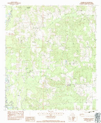
1983 Map of Chesbrough
USGS Topo · Published 1984About this map
The Tangipahoa River meanders through this portion of Tangipahoa Parish, defining a landscape of creek-fed bottomlands and rural settlements. During the early 1980s, the area around Chesbrough and Bolivar remained characterized by a dense network of family-named landmarks and local institutions. The map reveals a high concentration of cemeteries and churches, such as Old Bankston Cem and Mt Nebo Ch, which serve as vital markers for genealogical research in this part of Louisiana.
Find a feature on this map
42 named features on this map. Tap any name to fly to it.
Don’t see what you’re looking for? This feature index may not catch every label — zoom into the map to look around manually.
Map Details
Editions of this 1983 Chesbrough Map
This is the sole edition of this map. No revisions or reprints were ever made.
Other maps of this area

1939 · Sunny Hill
USGS Topo · 1:31,680

1940 · Spring Creek
USGS Topo · 1:31,680

1940 · Roseland
USGS Topo · 1:31,680

1942 · Roseland
USGS Topo · 1:31,680

1942 · Husser
USGS Topo · 1:31,680

1942 · Wilmer
USGS Topo · 1:31,680

1942 · Loranger
USGS Topo · 1:31,680

1949 · Bolivar
USGS Topo · 1:31,680

1949 · Amite
USGS Topo · 1:31,680

1950 · Kentwood
USGS Topo · 1:31,680