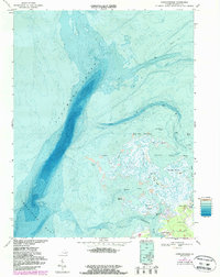
1968 Map of Chesconessex
USGS Topo · Published 1986About this map
The complex shoreline of Accomack County is defined here by the meeting of Pocomoke Sound and the Chesapeake Bay. This 1968 survey, updated with 1980s bathymetry and photogrammetric revisions, reveals a landscape of shifting mudflats and marshy archipelagos. The settlement of Chesconessex sits at the head of Chesconessex Creek, serving as a landward anchor for a network of water-dependent features like Factory Pt and various island camps.
Find a feature on this map
32 named features on this map. Tap any name to fly to it.
Don’t see what you’re looking for? This feature index may not catch every label — zoom into the map to look around manually.
Map Details
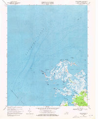
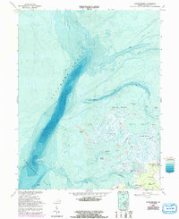
Editions of this 1968 Chesconessex Map
3 editions found
Other maps of this area

1903 · Crisfield
USGS Topo · 1:62,500

1920 · Crisfield
USGS Topo · 1:62,500

1931 · Accomac
USGS Topo · 1:48,000

1935 · Accomac
USGS Topo · 1:62,500

1942 · Chesconessex
USGS Topo · 1:31,680

1942 · Nandua Creek
USGS Topo · 1:24,000

1942 · Great Fox Island
USGS Topo · 1:24,000

1942 · Tangier Island
USGS Topo · 1:24,000

1942 · Saxis
USGS Topo · 1:24,000

1942 · Parksley
USGS Topo · 1:24,000