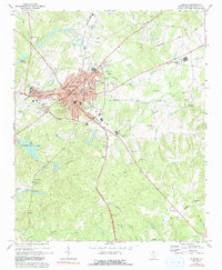
1969 Map of Chester
USGS Topo · Published 1991About this map
Chester serves as a major South Carolina rail hub in this late 1960s survey, where the Southern, Seaboard Coast Line, Lancaster and Chester, and Carolina and Northwestern railroads all converge. This industrial and transit network supports the city and the nearby community of Orrs, while the surrounding landscape is defined by the headwaters of the Sandy River and Rocky Creek. The presence of numerous old burial grounds, such as Old Purity Cem, Benson Cem, and Evergreen Cemetery, provides significant data for genealogical research in this Piedmont region.
Find a feature on this map
56 named features on this map. Tap any name to fly to it.
Don’t see what you’re looking for? This feature index may not catch every label — zoom into the map to look around manually.
Map Details
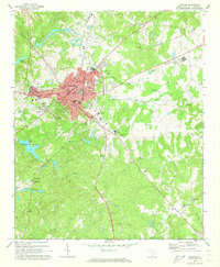
Editions of this 1969 Chester Map
2 editions found
Other maps of this area

1907 · Sharon
USGS Topo · 1:62,500

1941 · Spartanburg
USGS Topo · 1:250,000

1949 · Rock Hill
USGS Topo · 1:62,500

1953 · Spartanburg
USGS Topo · 1:250,000

1960 · Spartanburg
USGS Topo · 1:250,000

1963 · Spartanburg
USGS Topo · 1:250,000

1964 · Spartanburg
USGS Topo · 1:250,000

1968 · Blackstock
USGS Topo · 1:24,000
1969 · Stover
USGS Topo · 1:24,000
1969 · Richburg
USGS Topo · 1:24,000