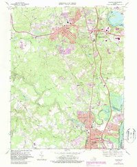
1969 Map of Chester
USGS Topo · Published 1987About this map
The settlement of Chester serves as the central hub of this 1969 survey, illustrating the suburban evolution of Chesterfield County as Interstate development began to reshape the landscape between Richmond and Petersburg. The map captures a moment of institutional growth, evidenced by the presence of John Tyler College and several educational facilities like Carver High Sch and Dale High Sch. To the east, the historic reach of the James River and its Old Channel define the terrain near Dutch Gap, while the northern portion includes a section of the Richmond National Battlefield Park. The southern boundary reveals the industrial and municipal expansion of Colonial Heights near the confluence of Swift Creek and the Appomattox River. Local genealogy and history are preserved through numerous landmarks, including St Johns Ch, Zion Ch, and the extensive Sunset Memorial Park Cemetery, providing a detailed record of the community's mid-century religious and social foundations.
Find a feature on this map
54 named features on this map. Tap any name to fly to it.
Don’t see what you’re looking for? This feature index may not catch every label — zoom into the map to look around manually.
Map Details
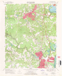
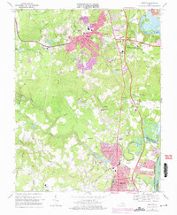
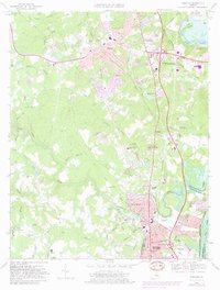
Editions of this 1969 Chester Map
4 editions found
Other maps of this area

1894 · Bermuda Hundred
USGS Topo · 1:62,500

1894 · Petersburg
USGS Topo · 1:62,500

1897 · Amelia
USGS Topo · 1:125,000

1938 · Dutch Gap
USGS Topo · 1:24,000

1938 · Drewrys Bluff
USGS Topo · 1:24,000

1943 · Dutch Gap
USGS Topo · 1:31,680

1943 · Chesterfield
USGS Topo · 1:31,680

1943 · Hopewell
USGS Topo · 1:31,680

1943 · Beach
USGS Topo · 1:24,000

1943 · Sutherland
USGS Topo · 1:24,000