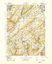
1943 Map of Chester
USGS Topo · Published 1943About this map
The South Branch Raritan River and its numerous tributaries, including Turkey Brook and Tanners Brook, define the drainage of this Morris County landscape during the early 1940s. The region is characterized by a mix of agricultural valley settlements and upland terrain like Mount Olive and Pleasant Hill. Transport networks are central to the area's development, with the Central Railroad of New Jersey and the High Bridge Branch cutting through the valleys to serve towns like Chester and Flanders. Local life is anchored by community landmarks such as the Flanders School and Succasunna School, while recreational and natural spaces are represented by Hacklebarney State Park and the waters of Budd Lake in the northwest corner. Small, established hamlets such as Naughright, Milldale, and Four Bridges reflect a long-standing pattern of settlement along the watercourses and rail lines prior to mid-century suburban expansion.
Find a feature on this map
40 named features on this map. Tap any name to fly to it.
Don’t see what you’re looking for? This feature index may not catch every label — zoom into the map to look around manually.
Map Details
Editions of this 1943 Chester Map
This is the sole edition of this map. No revisions or reprints were ever made.
Historical Maps of Hilltop Estates Through Time
12 maps found

1900 Raritan
Morris County, NJ
1905 Raritan
Morris County, NJ
1943 Chester
Morris County, NJ
1947 Chatham
Morris County, NJ
1947 Mendham
Morris County, NJ
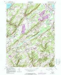
1954 Chester
Morris County, NJ
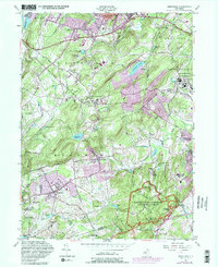
1954 Mendham
Morris County, NJ
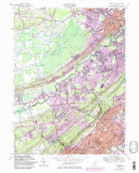
1955 Chatham
Morris County, NJ
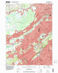
1995 Chatham
Morris County, NJ
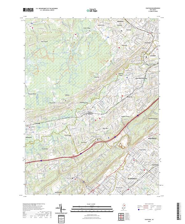
2023 Chatham
Morris County, NJ
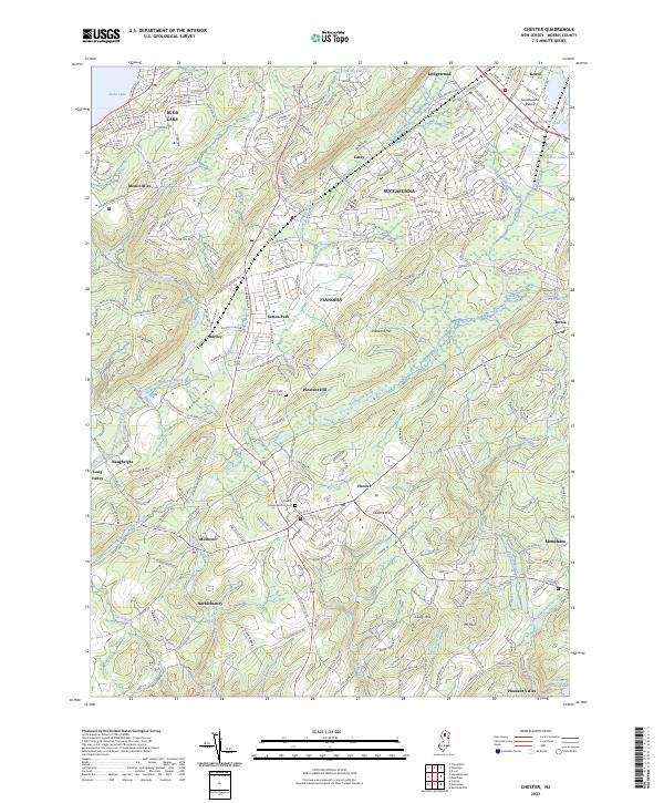
2023 Chester
Morris County, NJ
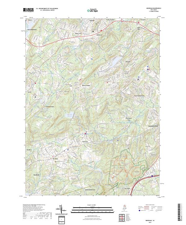
2023 Mendham
Morris County, NJ
Featured Locations
- Roxbury Township, NJ
- Mount Olive, NJ
- Succasunna, Roxbury Township
- Budd Lake, Mount Olive
- Flanders, Mount Olive