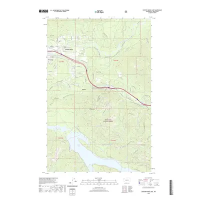
2020 Map of Chester Morse Lake
USGS Topo · Published 2020About this map
North Bend and the neighboring residential areas of Riverbend and Tanner anchor the northwestern corner of this King County survey, where the valley floor transitions into the dense woods of the Snoqualmie National Forest. The landscape is dominated by the massive catchment of Chester Morse Lake, situated south of Mt Washington and McClellan Butte. The drainage patterns are clearly defined by the Middle Fork and South Fork Snoqualmie Rivers, which flank the elevated terrain of Grouse Ridge. This area shows a distinct contrast between the growing street grids of Sallal Prairie and the strictly managed timber and watershed lands to the south. Transportation history is visible through the Palouse To Cascades State Park Trail, which follows an old rail corridor past Ragnar and toward Twin Falls, while a network of forest development roads like Nat For Dev Rd 50 provides access to the high peaks.
Find a feature on this map
78 named features on this map. Tap any name to fly to it.
Don’t see what you’re looking for? This feature index may not catch every label — zoom into the map to look around manually.
Map Details
Editions of this 2020 Chester Morse Lake Map
This is the sole edition of this map. No revisions or reprints were ever made.
Other maps of this area

1913 · Cedar Lake
USGS Topo · 1:125,000

1921 · Sultan
USGS Topo · 1:125,000

1923 · Sultan
USGS Topo · 1:125,000

1953 · Snoqualmie
USGS Topo · 1:24,000

1953 · North Bend
USGS Topo · 1:24,000

1953 · Eagle Gorge
USGS Topo · 1:24,000

1957 · Wenatchee
USGS Topo · 1:250,000

1960 · Mount Si
USGS Topo · 1:62,500

1960 · Bandera
USGS Topo · 1:62,500

1975 · Snoqualmie Pass
USGS Topo · 1:100,000