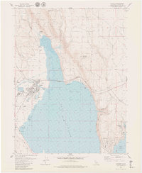
1979 Map of Chester
USGS Topo · Published 1979About this map
Lake Almanor dominates this landscape, its expansive waters meeting the developed shoreline at Chester during the late 1970s. The map illustrates a community shaped by its proximity to both the reservoir and the surrounding Lassen National Forest, with civil infrastructure like the Chester Airport and Almanor Ranger Sta serving the region. To the east, the Almanor Peninsula shows growing residential clusters at Peninsula Village, connected by a network of local roads such as Peninsula Drive and Almanor Drive. The northern reaches of the lake are fed by Last Chance Creek and Mud Creek, while the Warner Valley Fork Feather River flows into the basin from the west. This survey details the transition from the town center to the recreational and timber lands of the high Sierra, noting specific points of interest like Johnson Fields and the steep ascent of the Johnson Grade.
Find a feature on this map
37 named features on this map. Tap any name to fly to it.
Don’t see what you’re looking for? This feature index may not catch every label — zoom into the map to look around manually.
Map Details
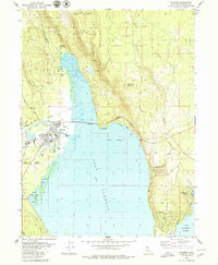
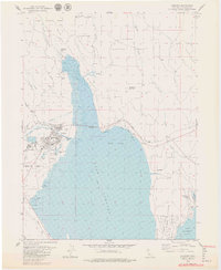
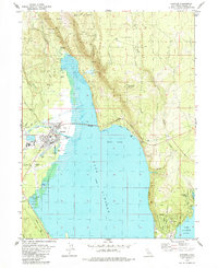
Editions of this 1979 Chester Map
4 editions found
Other maps of this area

1886 · Lassen Peak
USGS Topo · 1:250,000

1892 · Lassen Peak
USGS Topo · 1:250,000

1894 · Lassen Peak
USGS Topo · 1:250,000

1955 · Almanor
USGS Topo · 1:62,500

1955 · Westwood
USGS Topo · 1:250,000

1956 · Mt. Harkness
USGS Topo · 1:62,500

1956 · Chester
USGS Topo · 1:62,500

1958 · Westwood
USGS Topo · 1:250,000

1958 · Jonesville
USGS Topo · 1:62,500

1959 · Westwood
USGS Topo · 1:250,000