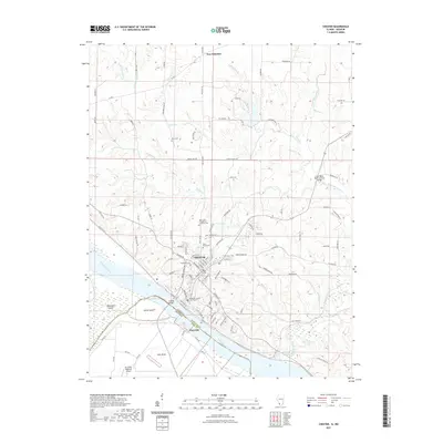
2021 Map of Chester
USGS Topo · Published 2021About this map
Chester serves as a prominent riverfront center along the bluffs of the Mississippi River, anchored by the Randolph County Courthouse. This 2021 survey details the complex geography of the Illinois-Missouri border, where the river's course defines the boundaries between Randolph and Perry counties. Notable interior features include the Little Marys River Covered Bridge and the small settlement of New Palestine to the north. The map traces the transition from the high ground of the city down to the low-lying floodplains of Kaskaskia Island and Bois Brule. Genealogists will find value in the precise locations of several local burial grounds, such as Saint Marys Cem and the Saint John Evangelical Lutheran Cem. The Chester Bridge provides the primary link across the water toward Claryville, while the Perryville Regional Airport marks the southwestern extent of the mapped area.
Find a feature on this map
113 named features on this map. Tap any name to fly to it.
Don’t see what you’re looking for? This feature index may not catch every label — zoom into the map to look around manually.
Map Details
Editions of this 2021 Chester Map
This is the sole edition of this map. No revisions or reprints were ever made.
Other maps of this area

1912 · Baldwin
USGS Topo · 1:62,500

1914 · Baldwin
USGS Topo · 1:62,500

1914 · Coulterville
USGS Topo · 1:62,500

1915 · Chester
USGS Topo · 1:62,500

1916 · Campbell Hill
USGS Topo · 1:62,500

1917 · Coulterville
USGS Topo · 1:62,500

1918 · Campbell Hill
USGS Topo · 1:62,500

1942 · Baldwin
USGS Topo · 1:62,500

1947 · Chester
USGS Topo · 1:62,500

1949 · Paducah
USGS Topo · 1:250,000