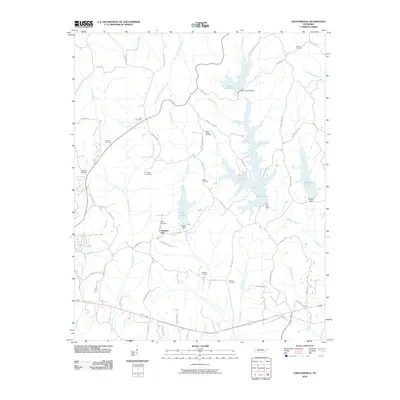
2010 Map of Chesterfield
USGS Topo · Published 2010About this map
Pleasant Hill stands as a central settlement in this portion of Tennessee, surrounded by a dense concentration of burial grounds that offer significant value for genealogical research. Notable sites include Milton Cemetery, Hare Cemetery, Harmon Cemetery, and Halbrook Cemetery, along with several others such as Lindsey Cemetery and Mays Chapel Cemetery. These family and community landmarks are scattered across a landscape defined by its managed water resources and rural road networks.
Find a feature on this map
63 named features on this map. Tap any name to fly to it.
Don’t see what you’re looking for? This feature index may not catch every label — zoom into the map to look around manually.
Map Details
Editions of this 2010 Chesterfield Map
This is the sole edition of this map. No revisions or reprints were ever made.
Other maps of this area

1936 · Clarksburg
USGS Topo · 1:24,000

1936 · Lexington
USGS Topo · 1:24,000

1936 · Yuma
USGS Topo · 1:24,000

1936 · Scotts Hill
USGS Topo · 1:24,000

1936 · Parsons
USGS Topo · 1:24,000

1936 · Reagan
USGS Topo · 1:24,000

1936 · Cavvia
USGS Topo · 1:24,000

1936 · Life
USGS Topo · 1:24,000

1936 · Chesterfield
USGS Topo · 1:24,000

1950 · Reagan
USGS Topo · 1:24,000