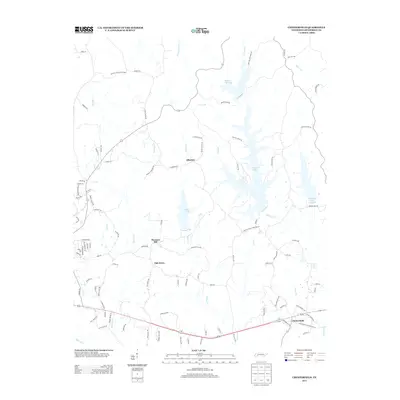
2013 Map of Chesterfield
USGS Topo · Published 2013About this map
Chesterfield and its surrounding countryside in Henderson County are defined by a complex network of waterways and managed landscapes in the early 21st century. The map shows a region shaped by major water impoundments, notably the sprawling Pinoak Lake and Browns Creek Lake, which dominate the northern and eastern terrain. These reservoirs, along with Redbud Lake and Cedar Lake, illustrate the historical management of the Beech River watershed. In the northwest corner, the protected forests of Natchez Trace State Park provide a backdrop for a rural landscape where small communities like Alberton, Pleasant Hill, and Oak Grove remain centered around a dense web of local roads. The inclusion of Lindsey Cemetery Rd and numerous family-named landmarks like Bald Hill Rd provides a detailed footprint for those researching the local genealogies of this corner of West Tennessee.
Find a feature on this map
103 named features on this map. Tap any name to fly to it.
Don’t see what you’re looking for? This feature index may not catch every label — zoom into the map to look around manually.
Map Details
Editions of this 2013 Chesterfield Map
This is the sole edition of this map. No revisions or reprints were ever made.
Other maps of this area

1936 · Clarksburg
USGS Topo · 1:24,000

1936 · Lexington
USGS Topo · 1:24,000

1936 · Yuma
USGS Topo · 1:24,000

1936 · Scotts Hill
USGS Topo · 1:24,000

1936 · Parsons
USGS Topo · 1:24,000

1936 · Reagan
USGS Topo · 1:24,000

1936 · Cavvia
USGS Topo · 1:24,000

1936 · Life
USGS Topo · 1:24,000

1936 · Chesterfield
USGS Topo · 1:24,000

1950 · Reagan
USGS Topo · 1:24,000