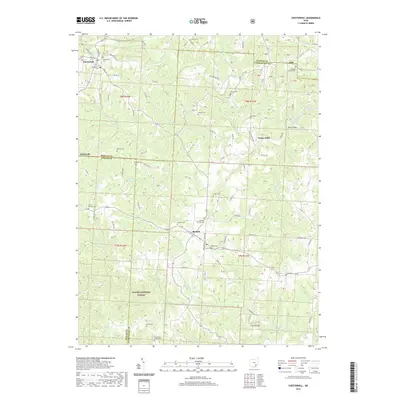
2019 Map of Chesterhill
USGS Topo · Published 2019About this map
Chesterhill and Bartlett anchor this pocket of southeast Ohio, where the intersection of Morgan, Athens, and Washington counties creates a complex landscape of small rural settlements. The terrain is defined by the winding drainages of W Br Wolf Cr and the W Br Little Hocking River, reflecting a long history of agricultural and timber activity within what is now the Wayne National Forest. Cultural heritage is particularly visible through the dense network of small burial grounds and religious sites, such as the Old Quaker Ch and the Bartlett Friends Cem, which indicate the deep roots of Quaker settlement in the region. Other small hubs like Patten Mills and Plantsville mark older centers of community life connected by local routes like Buckeye Ridge Rd, while the N-Country National Scenic Trail traverses the northern section near the Morgan County line.
Find a feature on this map
107 named features on this map. Tap any name to fly to it.
Don’t see what you’re looking for? This feature index may not catch every label — zoom into the map to look around manually.
Map Details
Editions of this 2019 Chesterhill Map
This is the sole edition of this map. No revisions or reprints were ever made.
Other maps of this area

1902 · Parkersburg
USGS Topo · 1:62,500

1904 · Parkersburg
USGS Topo · 1:62,500

1904 · Chesterhill
USGS Topo · 1:62,500

1906 · Chesterhill
USGS Topo · 1:62,500

1909 · Caldwell
USGS Topo · 1:62,500

1910 · Mc Connelsville
USGS Topo · 1:62,500

1912 · Caldwell
USGS Topo · 1:62,500

1949 · Clarksburg
USGS Topo · 1:250,000

1956 · Clarksburg
USGS Topo · 1:250,000

1960 · Watertown
USGS Topo · 1:24,000