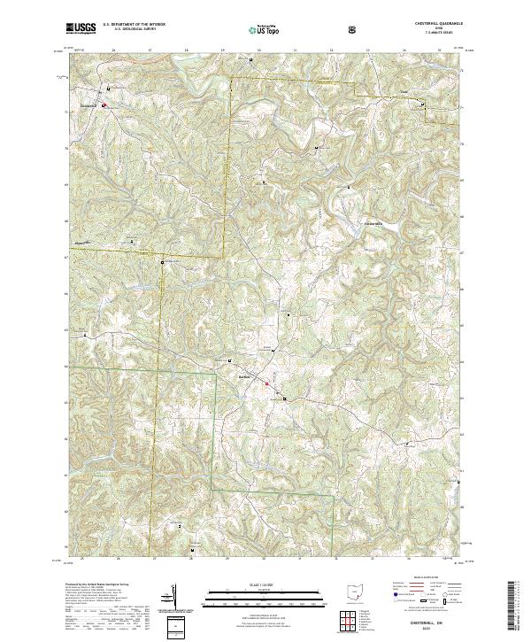
2023 Map of Chesterhill
USGS Topo · Published 2023About this map
The village of Chesterhill stands at the northern edge of this southeastern Ohio landscape, where the ridges of Buckeye Ridge transition into the rolling drainages of the West Branch Wolf Creek and the West Branch Little Hocking River. This modern survey highlights a region deeply rooted in settlement history, evidenced by a high density of rural burial grounds such as Old Quaker Cem, Bartlett Friends Cem, and Quaker Cem near the community of Bartlett. These names reflect the early influence of the Society of Friends and other mission-focused groups in the area. The map traces the winding paths of several runs, including North Branch Coal Run and Shrader Run, which carve through the wooded terrain of Wayne National Forest. Small settlements like Plantsville, Patten Mills, and Dale are connected by a network of township roads, marking the persistent agricultural and forestry character of the Morgan, Athens, and Washington county borders.
Find a feature on this map
68 named features on this map. Tap any name to fly to it.
Don’t see what you’re looking for? This feature index may not catch every label — zoom into the map to look around manually.
Map Details
Editions of this 2023 Chesterhill Map
This is the sole edition of this map. No revisions or reprints were ever made.
Other maps of this area

1902 · Parkersburg
USGS Topo · 1:62,500

1904 · Parkersburg
USGS Topo · 1:62,500

1904 · Chesterhill
USGS Topo · 1:62,500

1906 · Chesterhill
USGS Topo · 1:62,500

1909 · Caldwell
USGS Topo · 1:62,500

1910 · Mc Connelsville
USGS Topo · 1:62,500

1912 · Caldwell
USGS Topo · 1:62,500

1949 · Clarksburg
USGS Topo · 1:250,000

1956 · Clarksburg
USGS Topo · 1:250,000

1960 · Watertown
USGS Topo · 1:24,000