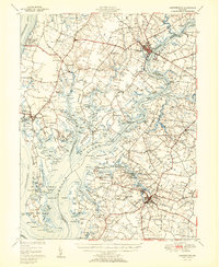
1951 Map of Chestertown
USGS Topo · Published 1951About this map
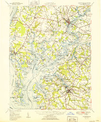
Chestertown serves as a focal point along the Chester River in this mid-century survey of the Maryland Eastern Shore. The map illustrates a landscape defined by its deep relationship with the water, where numerous peninsulas or "necks" like Quaker Neck and Spaniard Neck extend into the river's reaches. The infrastructure of the era is evident in the Pennsylvania railroad line connecting Centerville to the broader region, while local commerce and community life are marked by sites such as Centerville Landing and the County Farm.
Find a feature on this map
170 named features on this map. Tap any name to fly to it.
Don’t see what you’re looking for? This feature index may not catch every label — zoom into the map to look around manually.
Map Details
Editions of this 1951 Chestertown Map
2 editions found
Other maps of this area

1892 · Annapolis
USGS Topo · 1:62,500

1893 · North Point
USGS Topo · 1:62,500

1893 · Gunpowder
USGS Topo · 1:62,500

1898 · Choptank
USGS Topo · 1:125,000

1898 · Tolchester
USGS Topo · 1:125,000

1899 · Dover
USGS Topo · 1:125,000

1900 · Cecilton
USGS Topo · 1:62,500

1900 · Betterton
USGS Topo · 1:62,500

1901 · Chestertown
USGS Topo · 1:62,500

1901 · Gunpowder
USGS Topo · 1:62,500