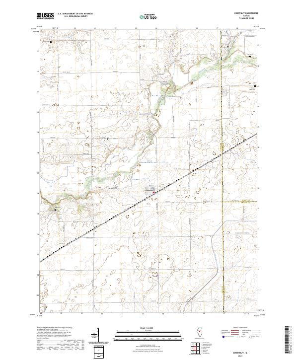
2024 Map of Chestnut
USGS Topo · Published 2024About this map
Chestnut serves as the central hub of this agricultural landscape in central Illinois, situated at the junction of several county roads and the rail line. The terrain is defined by the winding course of Salt Creek, which cuts a wooded path through the surrounding fields, and the smaller North Fork Lake Fork to the south. Genealogists will find a high density of burial sites scattered across the township, including Harmony Cem, Randolph Cem, and Hays Cem in the north, while Donnan Cem, Laenna Cem, and Reese Cem are found further south and west. This survey illustrates the traditional section-line road grid characteristic of Logan County, connecting outlying landmarks like Pleasant Valley Cem and Pine Lake to the primary settlement. The convergence of Logan, De Witt, and Macon counties occurs along the eastern and southern edges of this quadrangle, marking a significant political boundary in the regional landscape.
Find a feature on this map
41 named features on this map. Tap any name to fly to it.
Don’t see what you’re looking for? This feature index may not catch every label — zoom into the map to look around manually.
Map Details
Editions of this 2024 Chestnut Map
This is the sole edition of this map. No revisions or reprints were ever made.
Other maps of this area

1911 · Lincoln
USGS Topo · 1:62,500

1913 · Lincoln
USGS Topo · 1:62,500

1954 · Niantic
USGS Topo · 1:62,500

1954 · Mechanicsburg
USGS Topo · 1:62,500

1957 · Kenney
USGS Topo · 1:62,500

1958 · Peoria
USGS Topo · 1:250,000

1958 · Decatur
USGS Topo · 1:250,000

1961 · Peoria
USGS Topo · 1:250,000

1961 · Decatur
USGS Topo · 1:250,000

1963 · Peoria
USGS Topo · 1:250,000