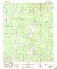
1986 Map of Chestnut
USGS Topo · Published 1986About this map
Ashland and the smaller community of Chestnut define the human landscape of this Natchitoches Parish area during the mid-1980s. The region is heavily integrated with the Kisatchie National Forest, where the topography is shaped by a dense network of drainage systems including Cypress Creek, Lizzie Creek, and Dry Choctaw Creek.
Find a feature on this map
19 named features on this map. Tap any name to fly to it.
Don’t see what you’re looking for? This feature index may not catch every label — zoom into the map to look around manually.
Map Details
Editions of this 1986 Chestnut Map
This is the sole edition of this map. No revisions or reprints were ever made.
Other maps of this area
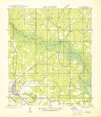
1937 · Campti NE
USGS Topo · 1:31,680
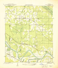
1937 · Campti NW
USGS Topo · 1:31,680
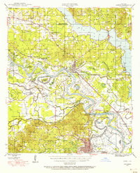
1944 · Campti
USGS Topo · 1:62,500
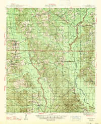
1947 · Goldonna
USGS Topo · 1:62,500
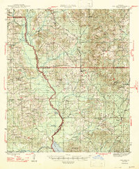
1947 · Ashland
USGS Topo · 1:62,500
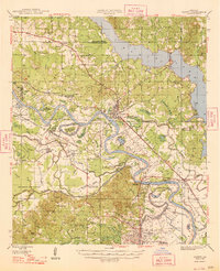
1948 · Campti
USGS Topo · 1:62,500
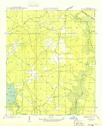
1949 · Calvin NW
USGS Topo · 1:31,680

1953 · Alexandria
USGS Topo · 1:250,000

1955 · Shreveport
USGS Topo · 1:250,000

1955 · Alexandria
USGS Topo · 1:250,000